My Rachel Carson Trail hike for the year (13.4 miles): and how this is about love and gratitude
Today I did my first hike of the year (normally I would have done hiking already in the spring, but the combination of Abby’s broken foot and my Pittsburgh Marathon training this year resulted in no space for hiking until after the marathon, which I did seven days ago).
My first hike of the year just happened to turn out to be a grueling Rachel Carson Trail hike.
Last year, I reported on the two Rachel Carson Trail Challenge goal training hikes I did in late April and early June. This year, I did the fourth of eight of the year’s goal training hikes offered.
- Sunday, May 12
- Leader: Donna Stolz 412-303-6102, Eileen Lessman 412-760-8863
- 13.4 miles
- Elevation change: 5055 ft
“This hike begins in North Park and heads over to Emmerling Park, then up and over Rich Hill and Lefever Hill. We end at the Log Cabin Road checkpoint location. Meet at Log Cabin Road parking area. Take Route 28 to Exit #12. Turn right at the end of the ramp, then right at the stop sign onto Little Deer Creek Road (aka Russellton Road). Travel about 1.5 miles and turn right on Log Cabin Road. Park about 100 yards ahead on the right.”
As of this year, I’ve decided to do only one Rachel Carson Trail hike a year, so this was it.
Here is my report on the hike, as well as my long-awaited explanation of why this trail means so much to me.
Weather
The conditions were good. It was kind of chilly and windy, probably 45-50 degrees throughout the hike. The sun came and went. There were only short periods of light drizzling rain, thankfully.
Footwear
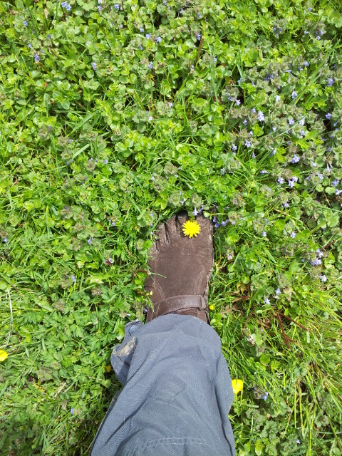
The Vibram FiveFingers KSO Trek shoes I wore last year on the Rachel Carson Trail developed holes, as a result of which I stocked up on some new ones. The pair that I opened, I’ve worn only a couple of times, and I wore this pair today.
Comparison with last year’s hike
Last year on the 18.1 mile hike, I was stupid about my smartphone, and this year I was smarter. Today’s hike was a shorter 13.4, so I was sure the battery would last long enough, if I didn’t take photos with flash. And of course, I always have a phone charge in my car now.
Last year’s hike went east to west and ended in North Park. This year’s hike went west to east and started in North Park. But being shorter, it did not end in Springdale. It is really a different hike when you go on the same trail but in a different direction.
You might enjoy comparing the photos in different directions.
Meeting up at Log Cabin Road
John and I arrived on time but not early, which meant that when we arrived, we saw a whole contingent of people already carpooling to head to North Park. We never saw those people again. Oops.
Furthermore, although we were ready to go with the hike leader, Donna, latecomers kept on showing up, and we were lenient and waited for them, before all the rest of us remaining headed to North Park.
Waiting for latecomers:
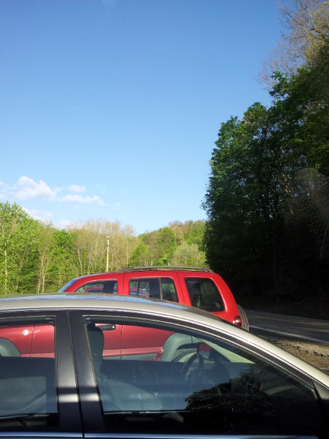
Because of Route 910 closures, some detours were necessary as Donna’s husband drove us to North Park.
Hike
In North Park about to begin:
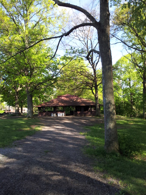
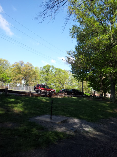
By the time we started, there were only a handful of us together as a group.
I was momentarily confused because I saw someone running in the wrong direction on the trail and thought she might be one of us, and was worried. I tried to follow her to call out to her, but she disappeared quickly:
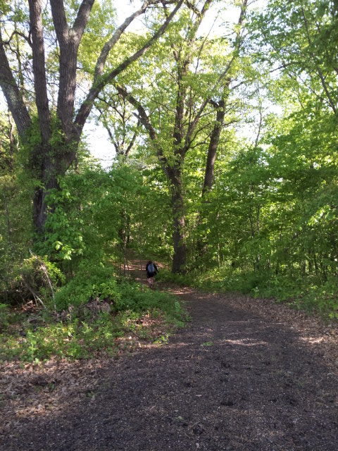
Meanwhile, Donna called out to me, and I rejoined the group.
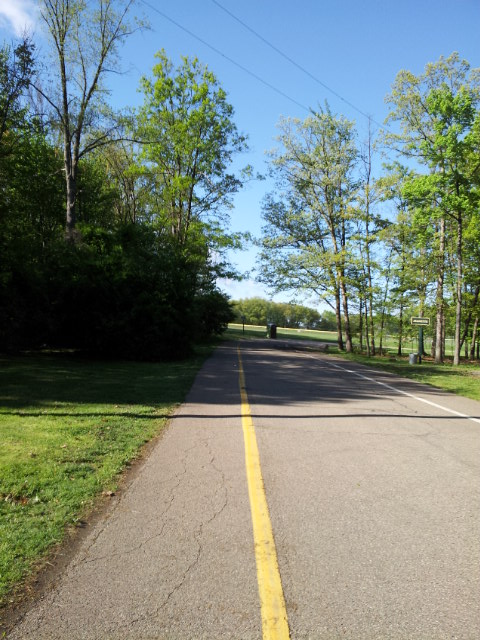
In North Park, a few sections of the trail are on the road, but then we go into the woods for real:
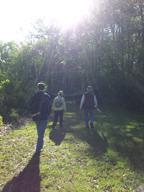
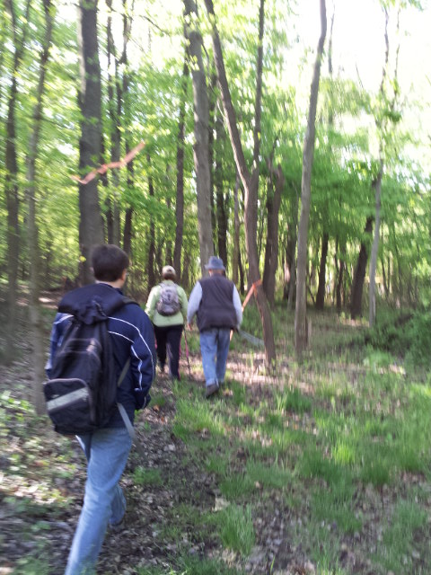
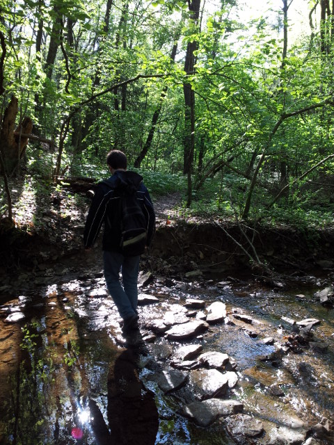
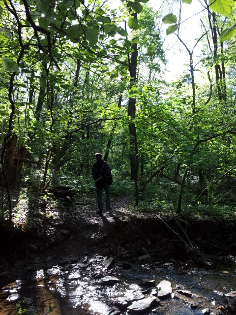
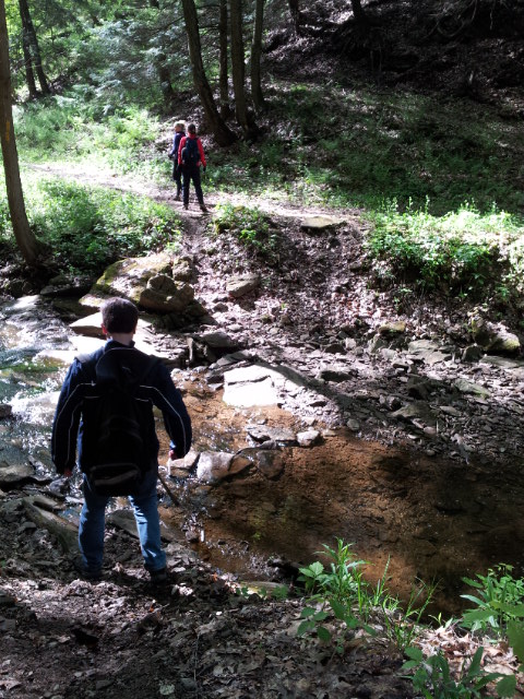
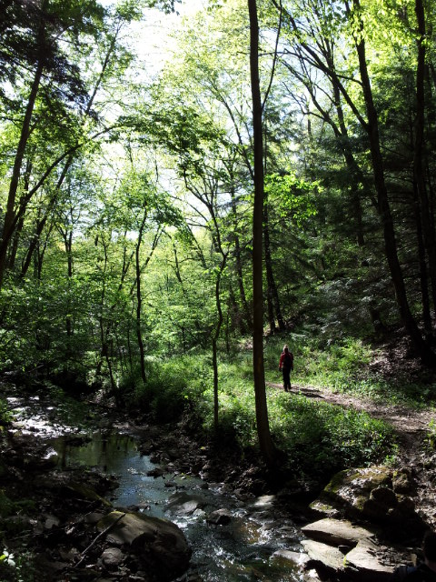
There’s a whole bunch of stream crossings while in North Park. Some of them are easier than others. I should note that one of the harder ones had some fast water and basically ensured that your feet would get wet, because the logs were floating and not completely safe to step on. Some people jumped, but that’s not safe. Wearing KSO Trek shoes, since the temperature was around 50, I was fine just getting my feet wet by walking through the water.
Out of the woods onto the railroad tracks (note that hiking in the reverse direction is tricky because it’s not well-marked where to get off the railroad tracks into the woods; John and I got lost the last time we did the reverse hike and had to backtrack!).
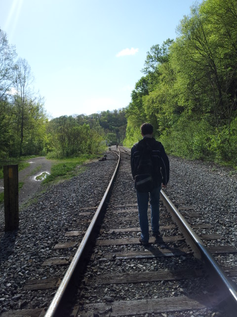
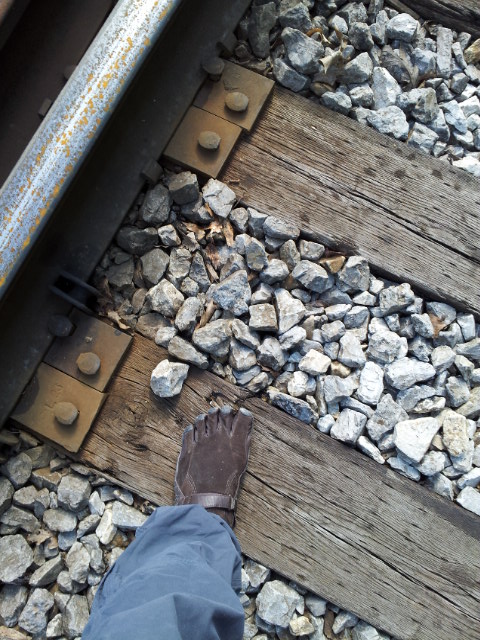
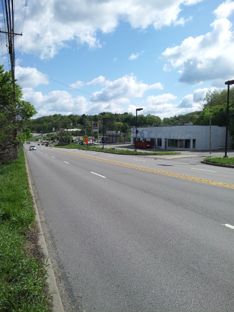
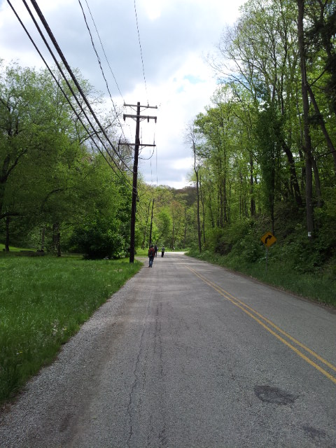
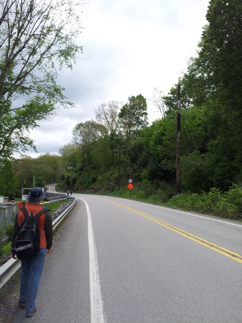
There’s a good amount of road walking on this section of the Rachel Carson Trail.
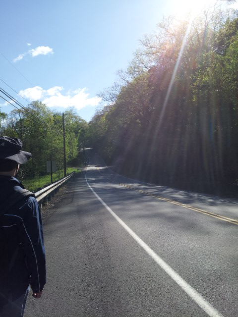
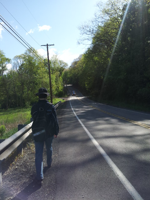
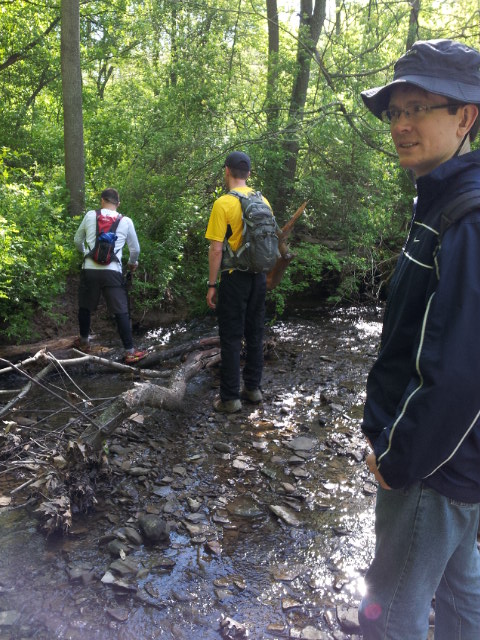
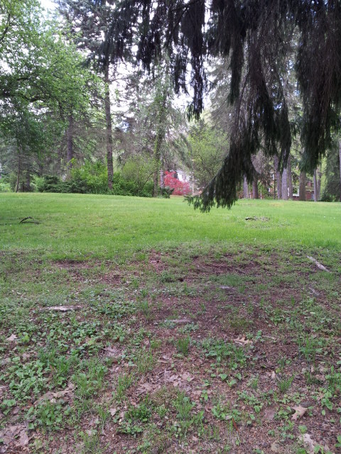
Crossing Route 8:
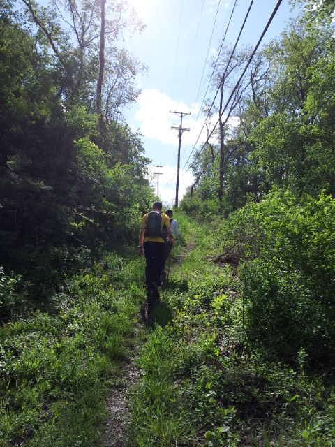
Finally, the power lines:
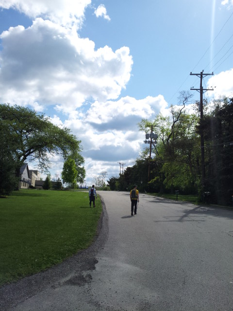
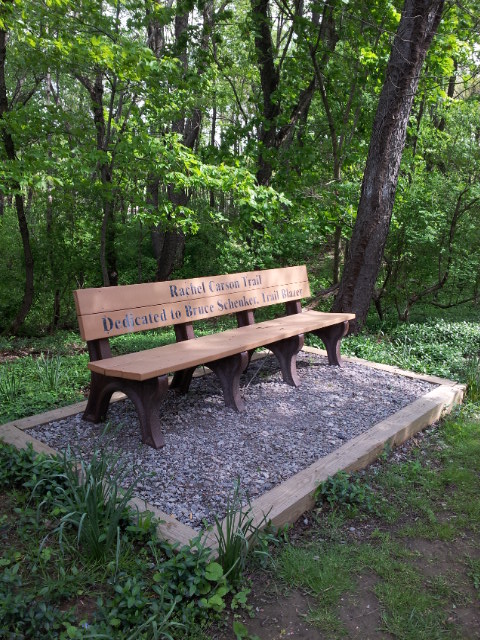
I am a bit sentimental about this section of trail in Hampton Park because Abby and I have done some cross country skiing here in winter, when she used to live up here before we got married and she moved to Pittsburgh.
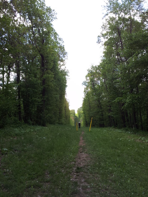
Abby and I have also hung out here in the past watching birds.
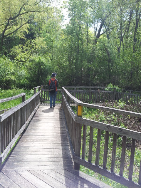
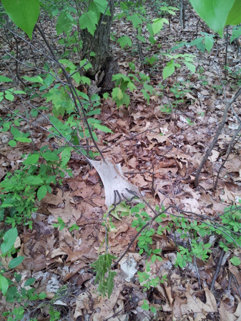
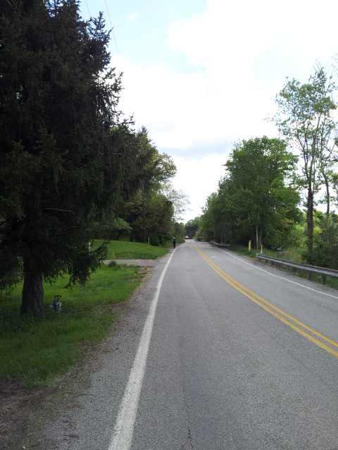
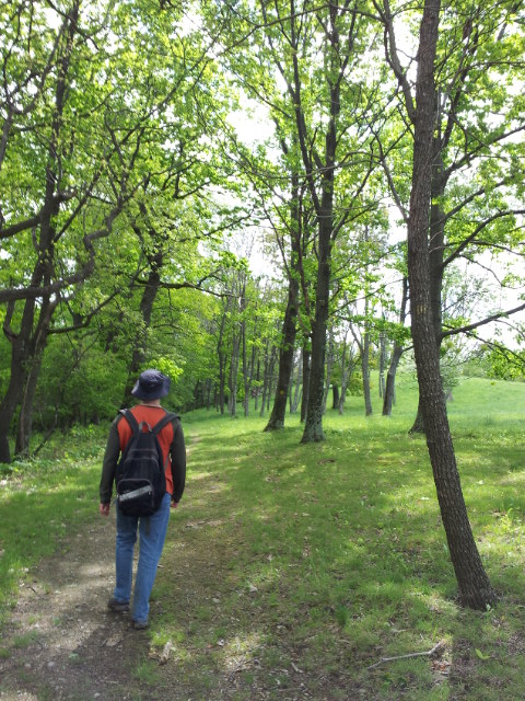
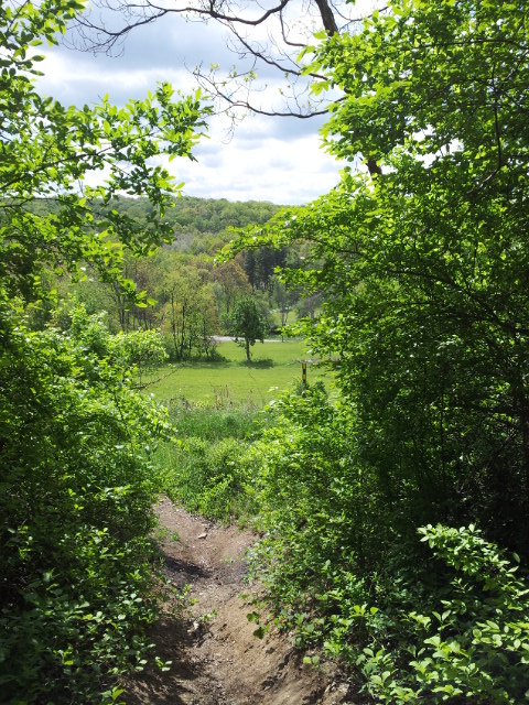
Here is where John and I got lost. I was distracted by this sight and made a turn toward it (the trail turned in the opposite direction) to check it out:
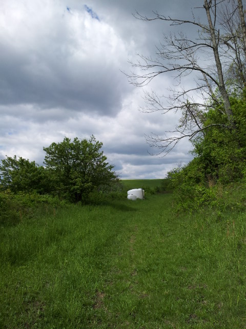
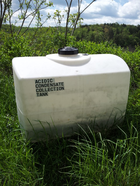
OK, “acidic condensate collection tank”.
Hmm, this didn’t look familiar.
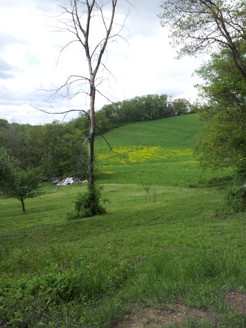
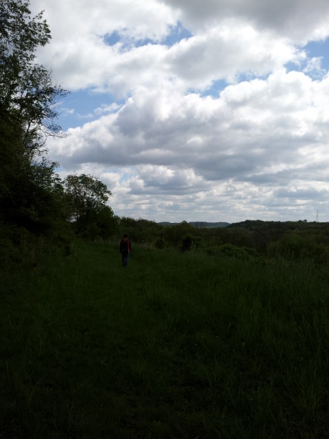
John and I turned back. We lost about ten minutes.
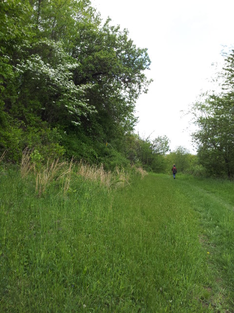
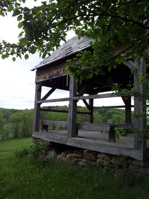
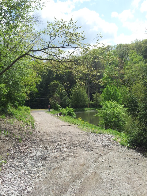
No animals out and about today!
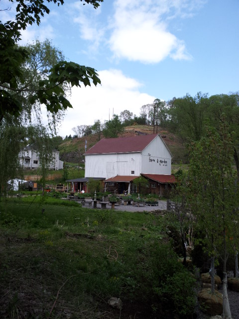
Funny how this happens to me once or twice each hike:
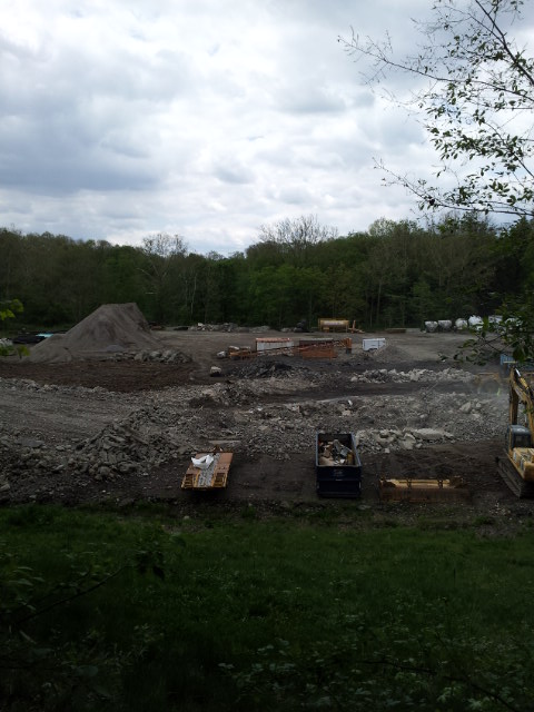
What the heck is this going on?
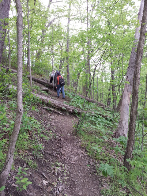
Uphill.
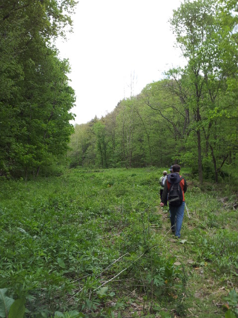
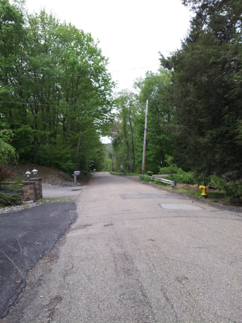
Finally at Emmerling Park, about 3 hours and 45 minutes into the hike.
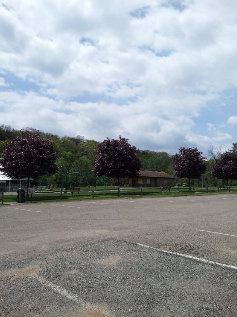
I hung out at Emmerling Park for about ten or fifteen minutes, using the restroom and then playing on the swing relieving my aching feet while waiting for John and the others to catch up and also use the restroom. The truth is, I was ready to stop hiking already, feeling tired. I was also sore because of two falls I had sustained earlier in the hike. One of the falls involved my tripping on my right foot, causing me to land hard on my left, reinjuring my left knee that I had hurt before the marathon in a fall down the stairs. My left knee was causing me serious pain again now in the hike. I also fell on a steep downhill earlier, landing directly on my butt and on the palm of my left hand, which reinjured my left elbow. Finally, my right Achilles was killing me, because I had not adjusted the strap of my shoe properly; I had readjusted it during the hike, but the damage was already done. I was quite ready to stop hiking, but there were still two hours to go! Oops.
Red flower:
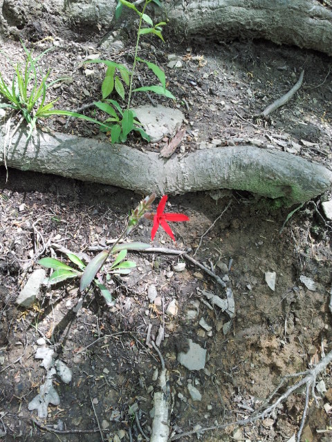
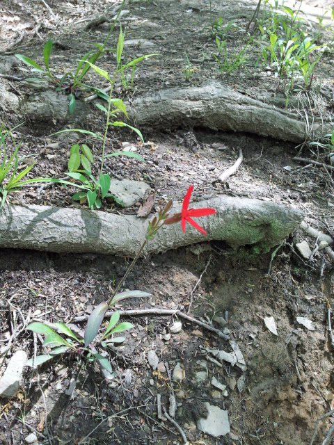
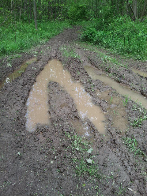
And now we got to sections of the trail that are abused by ATVs and rutted and muddy. (We ended up encountering someone on an ATV, in fact.)
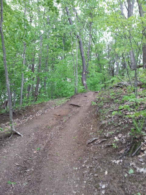
Standing water:
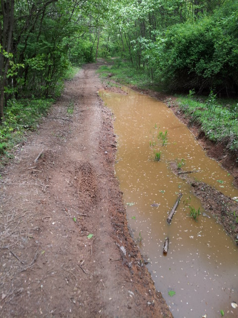
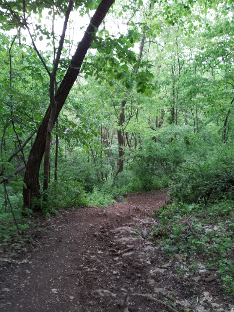
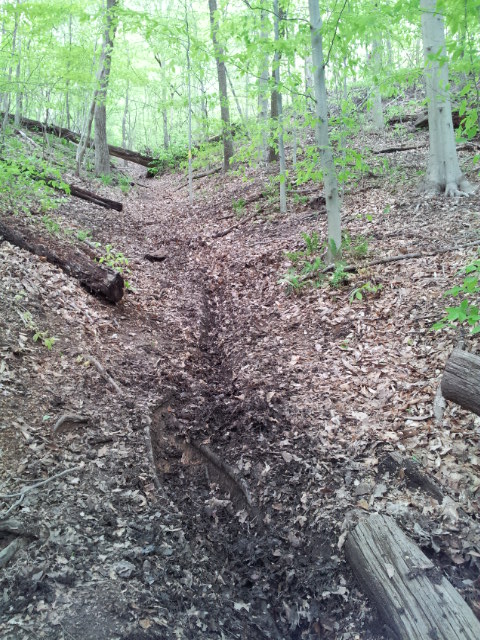
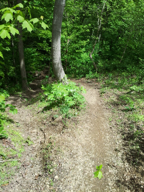
No fun at all hiking through these muddy ruts:
Finally back into open space:
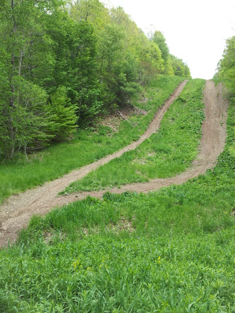
Looking back down the big hill:
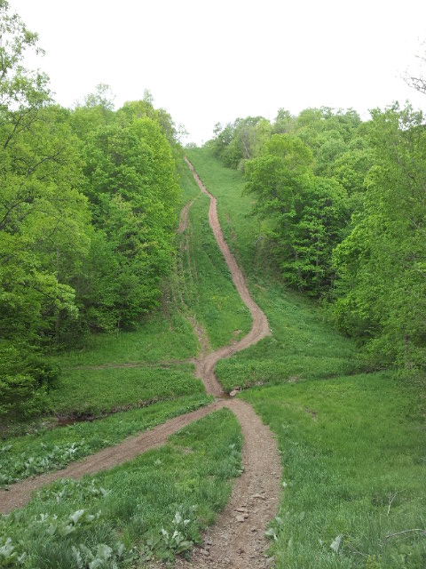
There’s John and the rest down at the bottom:
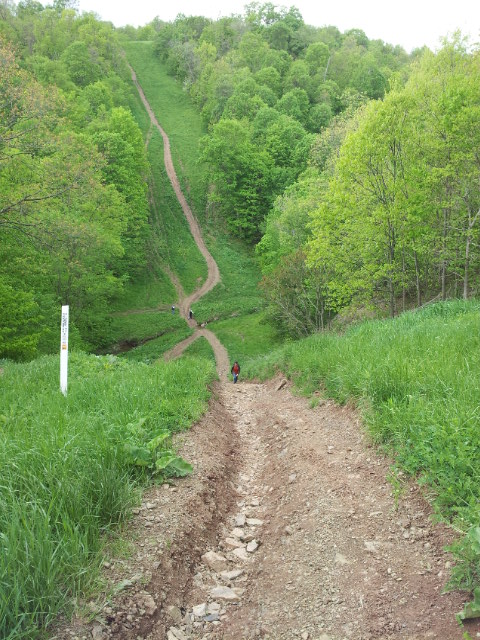
We keep on going up:
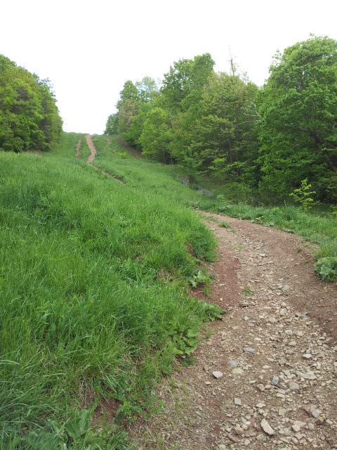
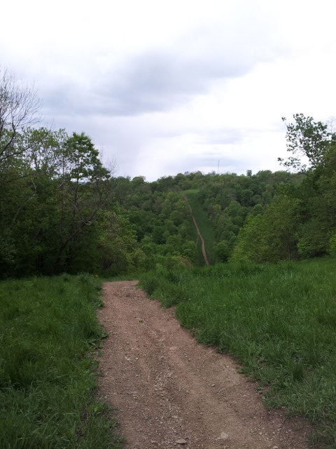
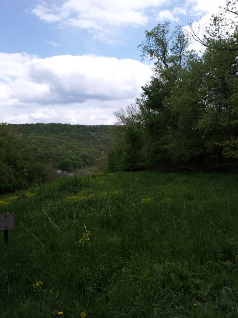
Finally at the top, looking back:
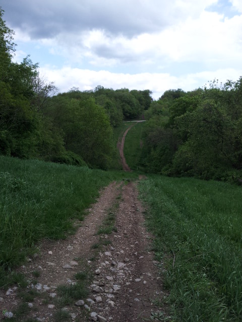
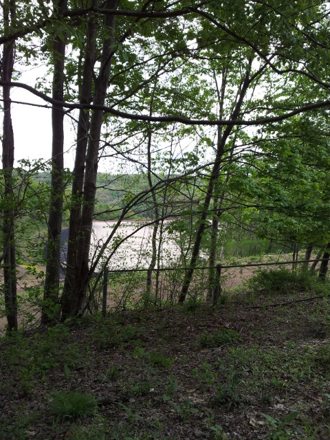
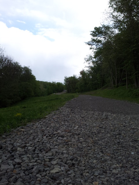
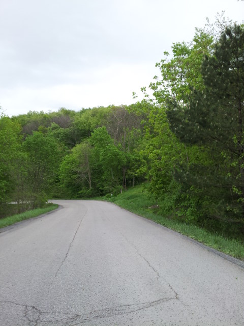
What’s going on here?
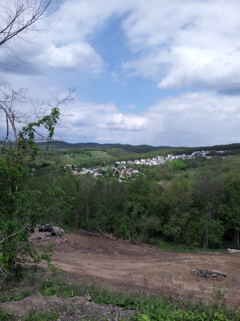

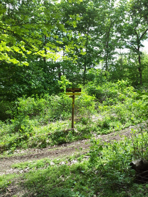
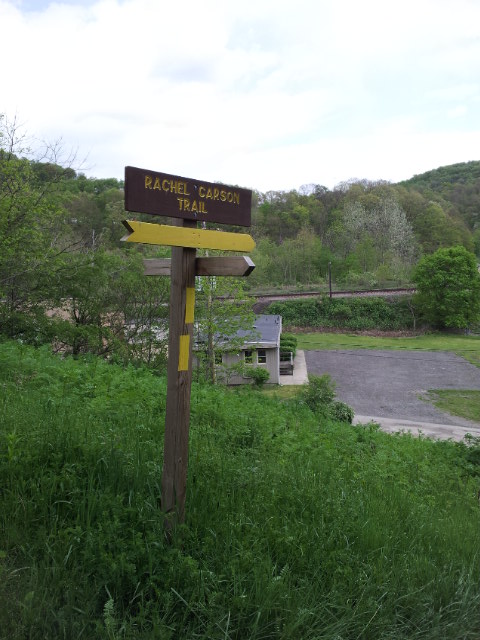
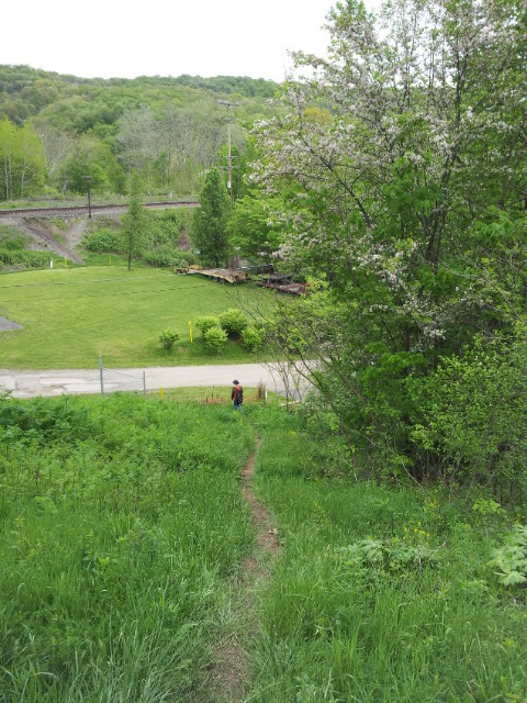
Finally back to the parking lot!
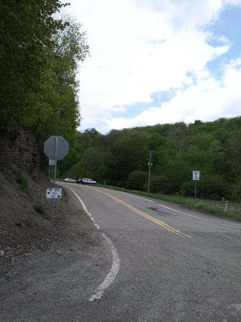
After
We hiked something like 5 hours and 45 minutes. It felt really long to us, as our first hike of the year. My feet were killing me. I was happy to take my shoes off and drive us back home barefoot!
By the way, my phone still barely had battery power left when we finished. I’m not sure it would have lasted another hour. This is useful to know. Of course, I immediately plugged it into my car charger! I should get an extra battery.
Why hike this trail at all?
Abby is confused why I like occasionally (once or twice a year) hiking on the Rachel Carson Trail, even though much of the time I find it tiring and weird. I’ve never fully explained this in words, so here, finally, is my explanation.
I have many sentimental reasons to hike this trail. One is that eight years ago, in late May of 2005, when a local running friend said he was doing the Rachel Carson Trail Challenge, I had taken an entire half year off from running was feeling sad and lonely. I looked up the Challenge online, and happened to find that training hikes led by Barb Peterson were being offered in just a few days, and although I had no intention whatsoever to do the Challenge, I thought the training hikes would be a fun way to do and see something different. After doing the third of four, I was so excited by the novelty that I ended up signing up for the Challenge!! With only three weeks left, there was not much training I could do for it, but I figured that if I just took it slowly, I should be able to finish.
The 2005 Challenge was an ordeal for me to finish, but I did, and the side effect was that I fell in love with hiking in general. I met people through doing the Challenge, and in 2006 I roped John into joining me on some longer training hikes, where we met more people, and some of them I began hiking with outside the context of the Challenge, in places like the Laurel Highlands. This was before the Pittsburgh Hiking Meetup was formed in May 2007 and made it much easier to find people to hike with. So the 2005 Challenge had the side effect of getting me into making hiking a regular part of my life.
Finally, as I was training for the 2007 Challenge, that was the time when I had just met Abby and was dancing with her, but we were not dating yet. When we were chatting at a salsa dance, I learned that she liked to hike and was intrigued. I invited her to join me and John for an April 29 Rachel Carson Trail Challenge training hike that happened to be passing through Hampton (as today’s hike did), and she said she would join us for part of it. A comic series of events then took place, in which John and I arrived at Hampton earlier than she had expected, so she had not yet made it to Hampton to meet up with us. When I paused to call her, and she said she would meet us in the trail, John and I got confused and lost because of miscommunication. I kept having to call her again and again until we finally found her, and she set us straight back onto the trail and hiked with us for a bit before turning back. That was my first interaction with Abby outside of dancing; I got to see how she gracefully handled my clumsy mistakes during this outing and how helpful she was. It was a month after that when we finally started dating. Eventually, I proposed right after a hike led by one of the guys I originally first met through a Rachel Carson Trail Challenge training hike.
So I associate the Rachel Carson Trail not only with falling in love with hiking, and with meeting lots of interesting people I still hike with all these years later, but also I am reminded of how I fell in love with Abby and how hiking is a big part of what we have done and do. It is slightly ironic, of course, that she does not enjoy doing most sections of the Rachel Carson Trail, so in recent years I have been hiking it either alone or with John. And that is why I try to limit how often I hike on the trail; I’ve decided now to do it only once a year, so that I spend less time on hiking that Abby doesn’t do with me, in order to share more hiking with her. But I would like to spend good time on the trail once a year from now on to remember what it means to me.
Finally, despite the strange hybrid nature of the trail, I believe in its existence and maintenance. It is a reminder that even in urban/suburban environments, there is still an underlying primitive nature that we can enjoy. The volunteers of the Rachel Carson Trails Conservancy work hard to keep this unusual resource open to the public.
(Example from March 2012 of the kind of hike that Abby and I have enjoyed doing.)
Conclusion
The Rachel Carson Trail will always have a special place in my heart.
Thanks to Donna for keeping us company for most of the hike as trail sweep, and her husband for driving us to the start!
