
A totally exhausting Rachel Carson Trail Challenge goal training hike (18.1 miles
In April, I reported on a nice 8.9 mile hike on the Rachel Carson Trail I did with John, the second of eight goal training hikes for the Rachel Carson Trail Challenge. I looked forward to doing a really long hike on the Rachel Carson Trail with John as my last hike on this trail for the year, and today was the one opportunity I had (during a very busy spring and summer weekend schedule) to get it in.
The description of today’s hike, the seventh of eight:
- Sunday, June 3, 2012
- Leader: Craig Fowler 412-491-6643
- 18.1 miles
- Elevation change: 6915 ft.
“On this hike we’ll cover the second half of this year’s Challenge course. Starting in Springdale near the Springdale Veterans Association Hall, we’ll hike through Springdale then hit Log Cabin hill, Lefever Hill, and Rich Hill. Then we’ll stick the landing in North Park. Meet at the Harmar Shelter in North Park. Directions: Take I279 north to the McKnight Road exit and travel 6.4 miles north. Take the North Park/Ingomar Rd. exit east and turn right at the third traffic light onto Babcock Blvd., then take the next left onto Hemlock Drive, then left again into the swimming pool lot. Follow the perimeter drive all the way back and bear right. The Harmar Shelter is ahead on the left, behind the guardrail.”
It turned out that a lot of things went wrong during this hike, but we survived!!
Volunteering
Earlier in the season, there had been a call for volunteers to lead or assist in the goal training hikes. I felt like giving back to the Rachel Carson Trail community, but didn’t feel ready yet to actually lead a hike. Instead, I accepted the role of helping (with John) by assisting in one of the longer ones, serving as trail sweeps in the back, aiding Miranda.
Footwear
I also wanted to do a very long hike as a test of whether my feet could hold up in Vibram FiveFingers KSO Trek shoes, on tough terrain as well as a very long distance. I always had problems (toe jamming, blistering, knee and ankle pain) wearing trail running shoes in the past hiking the Rachel Carson Trail in previous years when going about 20 miles or longer. In April’s Rachel Carson Trail hike, my feet got sore but otherwise I felt great. But I didn’t know how things would scale up to a much longer distance. So this was an opportunity to test my limits in FiveFingers shoes.
Camera
Now that I have a smartphone, finally, I no longer have to lug around the bulky digital camera that I’ve had to use for the past couple of years for taking photos. So I decided to bring just the phone for this hike. On the April hike, my new phone’s camera had been dead for days (I ended up getting a replacement phone, whew!), so I had used John’s camera.
Meeting up at North Park
John and I had a weird carpooling arrangement to get to North Park. Only John and I were hiking, but Abby needed to be up in the vicinity to visit her parents and pick up her car that they had, so we all went together. Abby dropped us off, the idea being that her parents were going to stop by North Park later in the morning to give her car back so that she could drive back home.
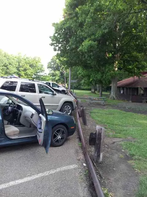
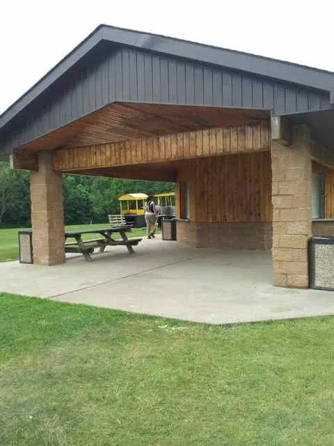
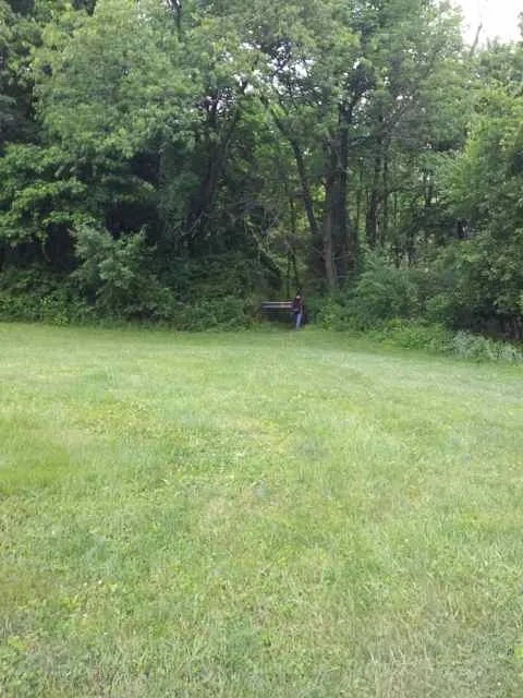
Parked at Harmar Shelter:
Hike
It took quite a while to ride back in a carpool to Springdale for the start. That just made us think of how long it would take to hike back to North Park!
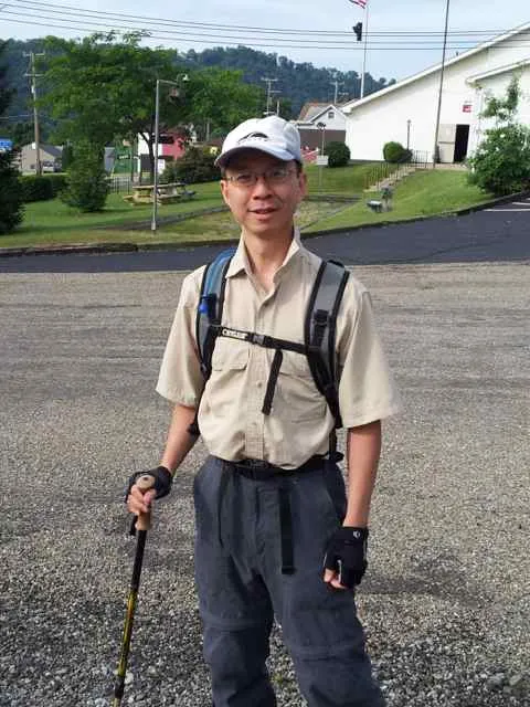
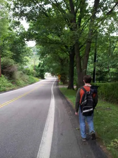
Here I am, ready to start hiking:
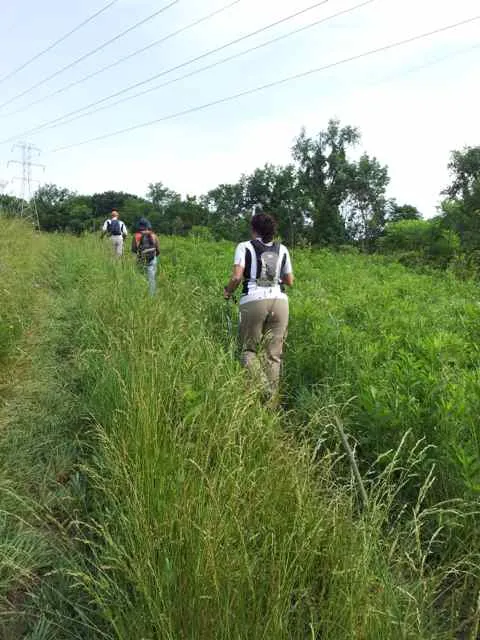
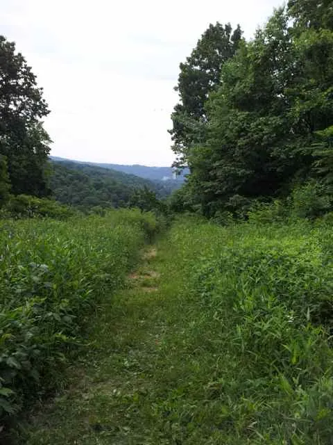
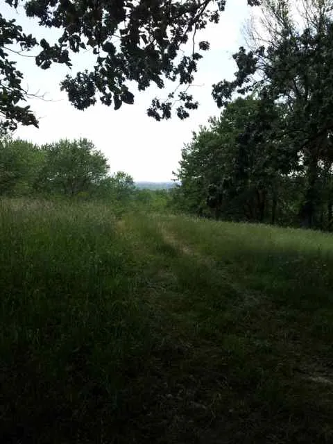
Denser and higher greenery in June than a month ago:
Years ago, when I did the Rachel Carson Trail Challenge, the trail in Springdale went through a section of land called the “roller coaster”. Sadly, in recent years, because of problems landowners had with misbehaving hikers, they revoked the permission they had given for so long to go through their land. This force some rerouting of the trail through the streets of Springdale. Ironically, the rerouting resulted in the trail finally actually passing by the Rachel Carson Homestead!
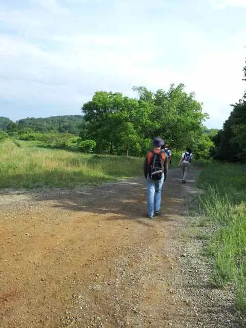
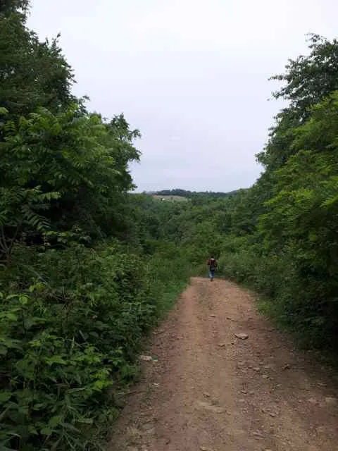
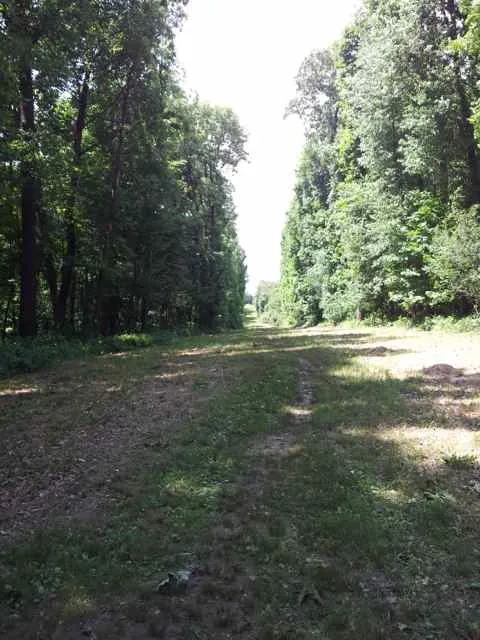
Some dirt road hiking:
A critter!

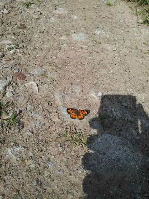
Butterfly:
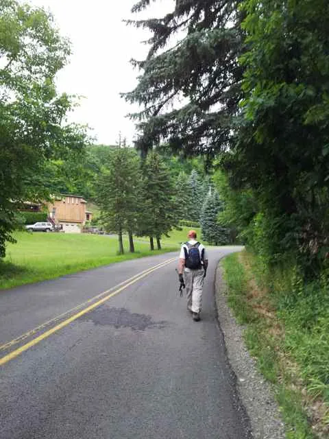
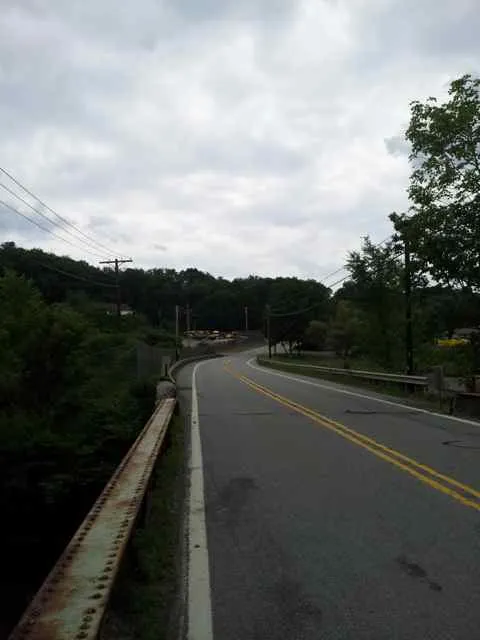
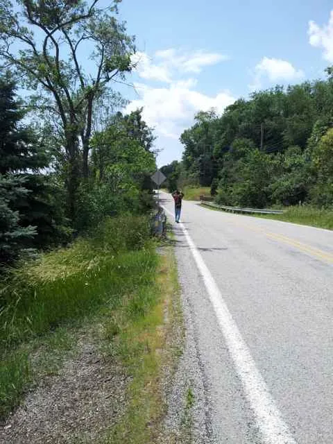
Inevitable road walking, part of the whole Rachel Carson Trail experience:
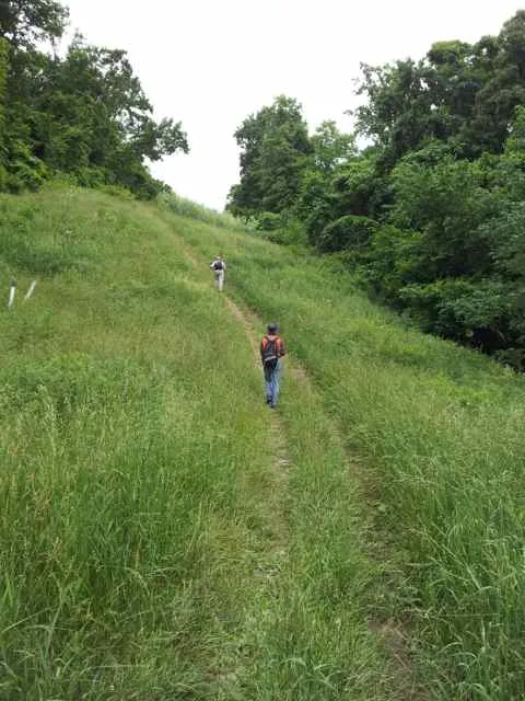
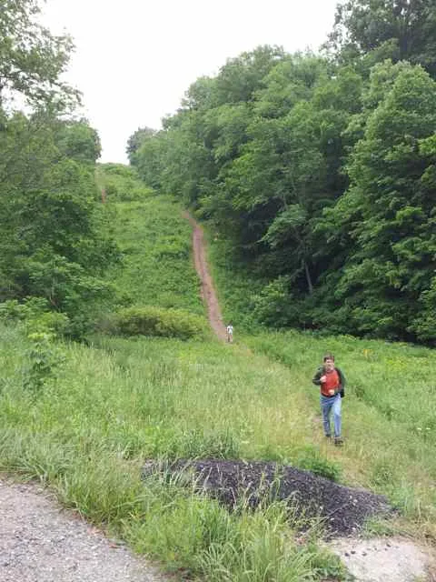
Up:
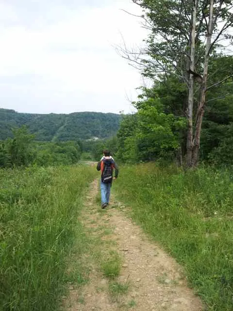
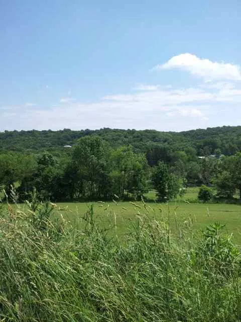
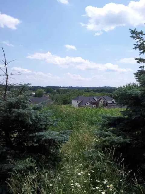
Nice view into the distance:
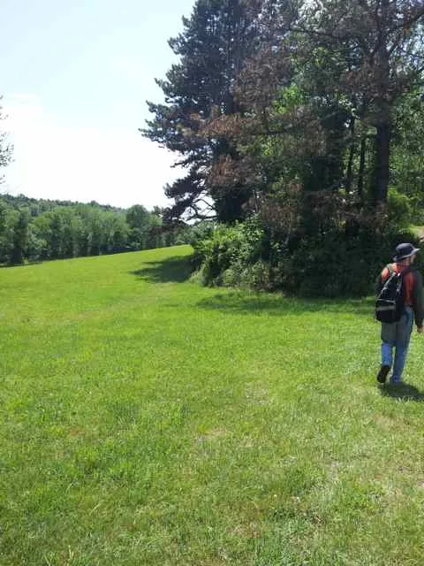
Now descending toward the road:
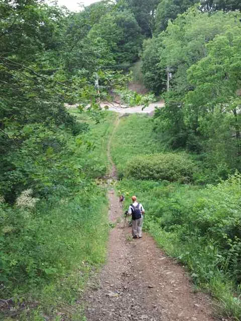
Looking back toward John:
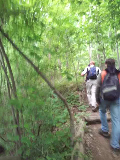
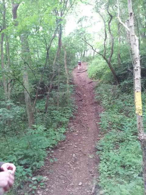
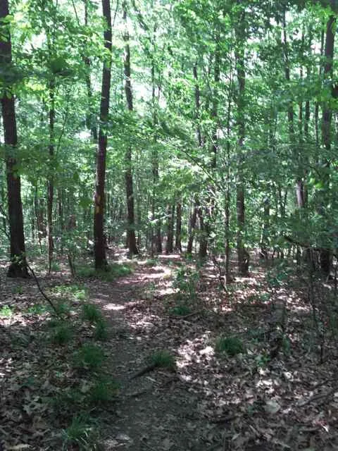
In the woods:
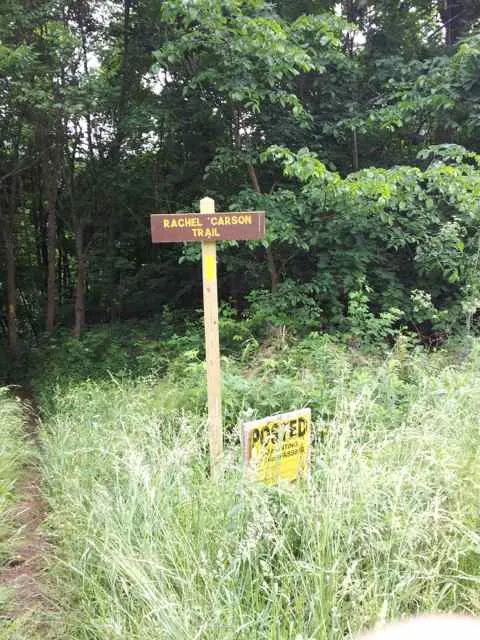
One of the “Rachel Carson Trail” signs, yellow on brown:
Back to road:
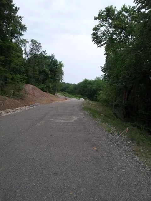
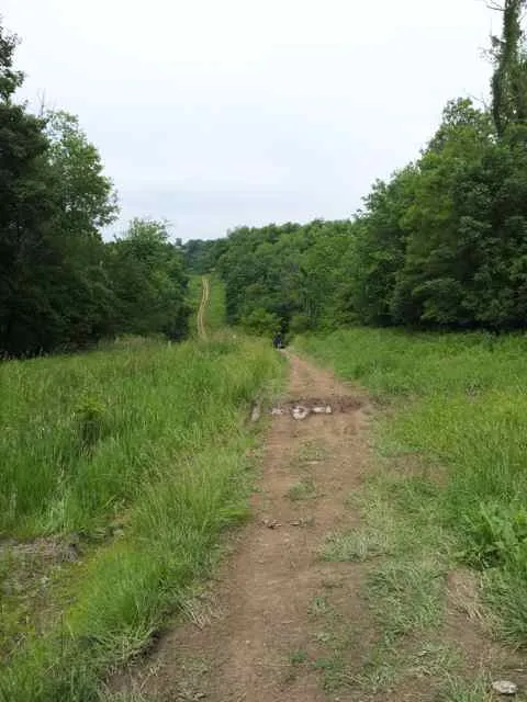
Dirt road:
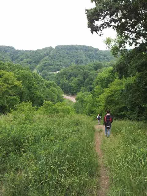
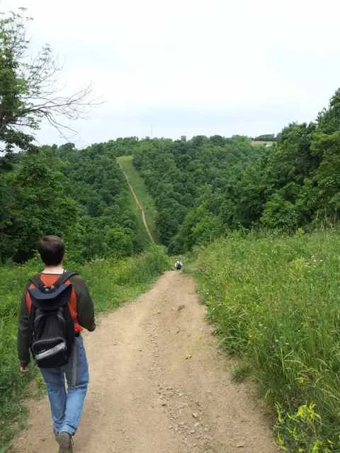
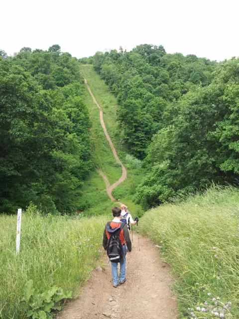
Big descent coming up; you can see how there will be a valley:
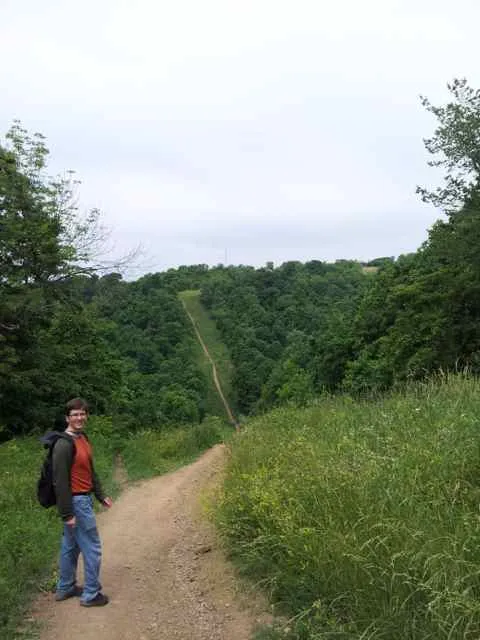
The thing to remember is that after getting to the bottom, the trail does not go back up. It actually makes a left.
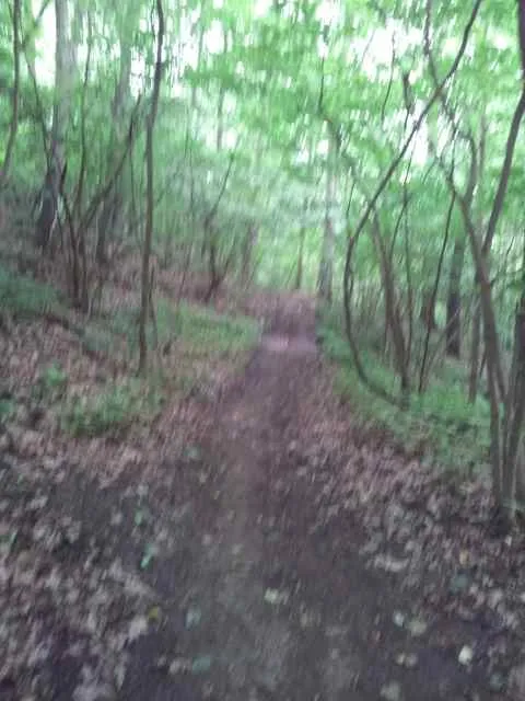
In the woods again:
Stream crossing:

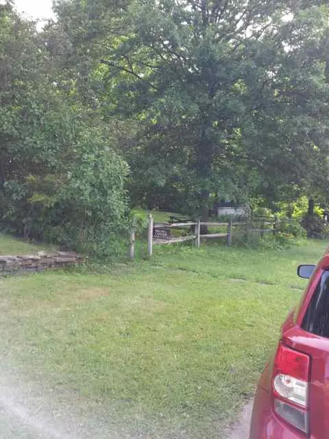
It is very convenient that the trail passes through Emmerling Park, because you can get water from the fountain and use the restrooms here before going on.
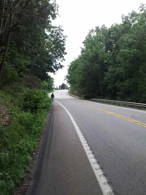
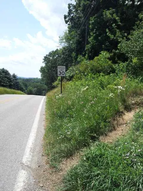
An unpleasant section of high-speed road with no sidewalk:
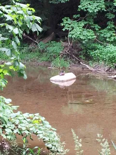
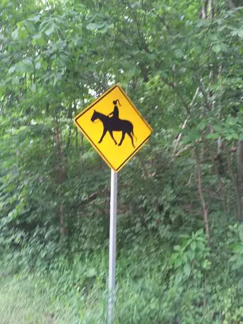
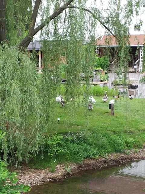
Animals!
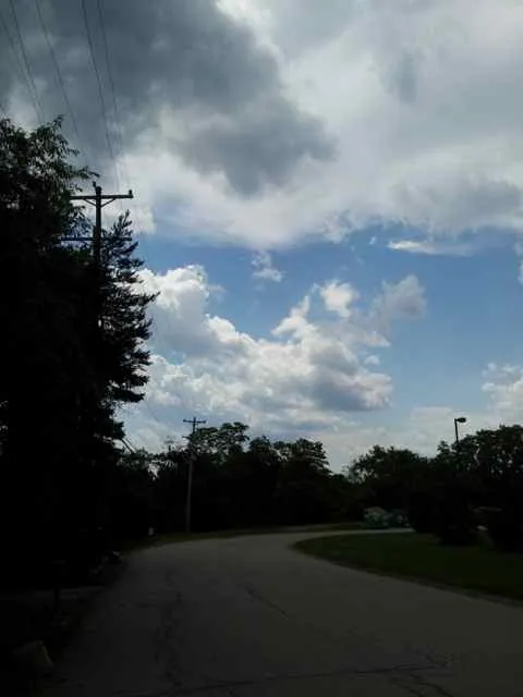
Looking like it might rain:

Oops
OK, at this point, six and a half hours into a very long hike, my phone’s battery ran out!
This was a problem because John and I had gotten separated from anyone else for some time already, and I worried about not being able to communicate with the hike leaders, whose responsibility it was to make sure everyone was accounted for at the end of the hike. Craig had my phone number, but I couldn’t call him and he couldn’t call me. Nor could I call Abby to let her know when John and I were done and heading home.
Finishing the hike
We made it to North Park, but then got lost in the trails. I had route maps on my phone, but my phone was dead. Luckily, I had brought some paper printouts of some road maps of North Park (but no trail maps!!). As long as we got out of the woods and onto the roads, I was sure we would find the shelter and my car and be OK. At worst, there would be people around in North Park we could ask for more detailed directions.
Then it began to rain. Really hard. My paper maps were getting blurry.
We eventually got to a road, and asked random people where the Harmar Shelter was, but they didn’t know. After some wandering around, we finally figured out where we were on the printed maps I had (the rain had stopped), and backtracked toward the shelter.
Then all of a sudden, John pointed at a car and said, “That car looks a lot like yours!” I replied that a lot of cars looked like mine, and ignored him. But then he noticed some distinguishing features and said it looked like it actually was mine. We were lucky, because it turned out the car was mine!! (Later I would learn from Abby that she had moved the car from where it had been parked in front of the shelter, to some random place further away, and texted me about the move, but of course, since I had not been checking my phone during the hike, and it died, I had no idea.)
Anyway, we made a note of where the car was before heading to the shelter. We saw no trace of Craig or Miranda. Oh great. Since Abby had moved the car, Craig must have left without waiting for us to return because he saw our car gone and assumed we had returned faster and had already gone home! (Later it would turn out that he had texted me as well as left voice mail asking me where I was and then after not getting a reply said he was leaving because he assumed we had finished.)
The shelter had a big, noisy party going on. We asked some random drunk guy if we could borrow his cell phone to make a call. He was kind enough to lend us the phone, and I called Craig (I was so fortunate that I had written in pen Craig’s number on one of the pieces of paper I had on me during the hike), and cleared up the confusion over whether we had finished or gone home. Then I called Abby and let her know John and I were OK, and drove us home.
After
I was very happy to have made it home, and ate a ton of food. I noticed that my toes were numb, from all the hiking and the cold of stream crossing and rain. Also, my ankles were very stiff. The soles of my feet were quite sore. But I had no other leg soreness. So the experiment with footwear partially succeeded. (The numb toes were OK again after a couple of hours.) But still, I cannot imagine hiking more than 20 miles comfortably with the Vibram FiveFingers KSO Trek. My feet were simply very sore.
Lessons learned
I learned many lessons during this exhausting hike:
- Trail sweep can be a lonely, arduous task. I’m used to hiking with a pack of people, or at least having a pack in sight. Not being the fastest hikers on this hike, being the sweep meant actually being left behind!
- I am immediately buying a phone charger for my car. It would have saved a lot of trouble if I had been able to charge my phone upon reaching it, in order to access missed text messages and voice mail.
- I am never going to completely rely on the phone again for directions or maps. I will always have backup paper printouts of all important information, and in fact, put them in plastic bags in case of rain.
- I will turn off automatic flash in order to save the phone battery when taking photos. Also, turn off unnecessary apps, etc.
- The FiveFingers shoes didn’t work too badly, but for a truly long distance are not cushioned enough.
- In the final hours, John and I simply were no longer enjoying the hike, but just wanted to finish. We don’t really want to do a hike this long or grueling again. We did about 20 miles today (extra distance beyond 18.1 because of getting lost in various places). Never again do I want to hike this long on the Rachel Carson Trail. In 2005, 2006, and 2007, I did the full 34-mile Challenge just to prove I could, not because I actually enjoyed it as such. I don’t need to kill myself any more. I enjoy doing long, varied, meditative hikes, but there is a limit to how much I actually enjoy. 8 or 9 miles, as in the hike a month ago, is probably optimal for me.
Conclusion
I knew that this Rachel Carson Trail hike was going to be tough, but it got a lot tougher than I expected. I learned a lot as a result of the experience.
Thanks to Craig for checking up on us and leading the hike and Miranda for being with us on the sweep during the beginning, and thanks to Abby for taking us to the hike!