A pretty Rachel Carson Trail Challenge goal training hike (8.9 miles)
Apr 29, 2012 · 3 minute read · CommentshikingRachel Carson TrailRachel Carson Trail ChallengeSpringdaleTarentumFiveFingerssmartphone
Every spring, I like to do one or two of the Rachel Carson Trail Challenge goal training hikes for fun even though I no longer do the Rachel Carson Trail Challenge because three times was enough for me. Since this year’s Challenge proceeds east to west, all of the goal training hikes this year also go east to west.
The description of today’s hike, the second of eight that increase in length till the longest one in June:
- Sunday, April 29, 2012
- Leader: Brian Droz 412-848-4810
- 8.9 miles
- Elevation change: 4925 ft.
“On this hike we start at the Bull Creek Road checkpoint location in Tarentum and quickly encounter a steep uphill climb followed by even steeper ups and downs - including Crawford Run hill and Murray Hill. We pass through Agan Park and end in Springdale. Meet at the Springdale Veterans Association Hall parking lot in Springdale. Directions: Take Route 28 to Exit #11 (Harmarville). After exiting onto Route 910 head towards Harmarville, turn left at the second traffic light onto Freeport Road and travel about 4 miles through 9 more traffic lights. The Springdale Veterans Association Hall entrance will be on your left just past the last light. Park on the far side of the lot.”
Meeting up
John and I drove up to the meeting place in Springdale. It was a cold morning!
I’m wearing my Vibram FiveFingers KSO Trek shoes as I have been doing for some time now for all my hiking.
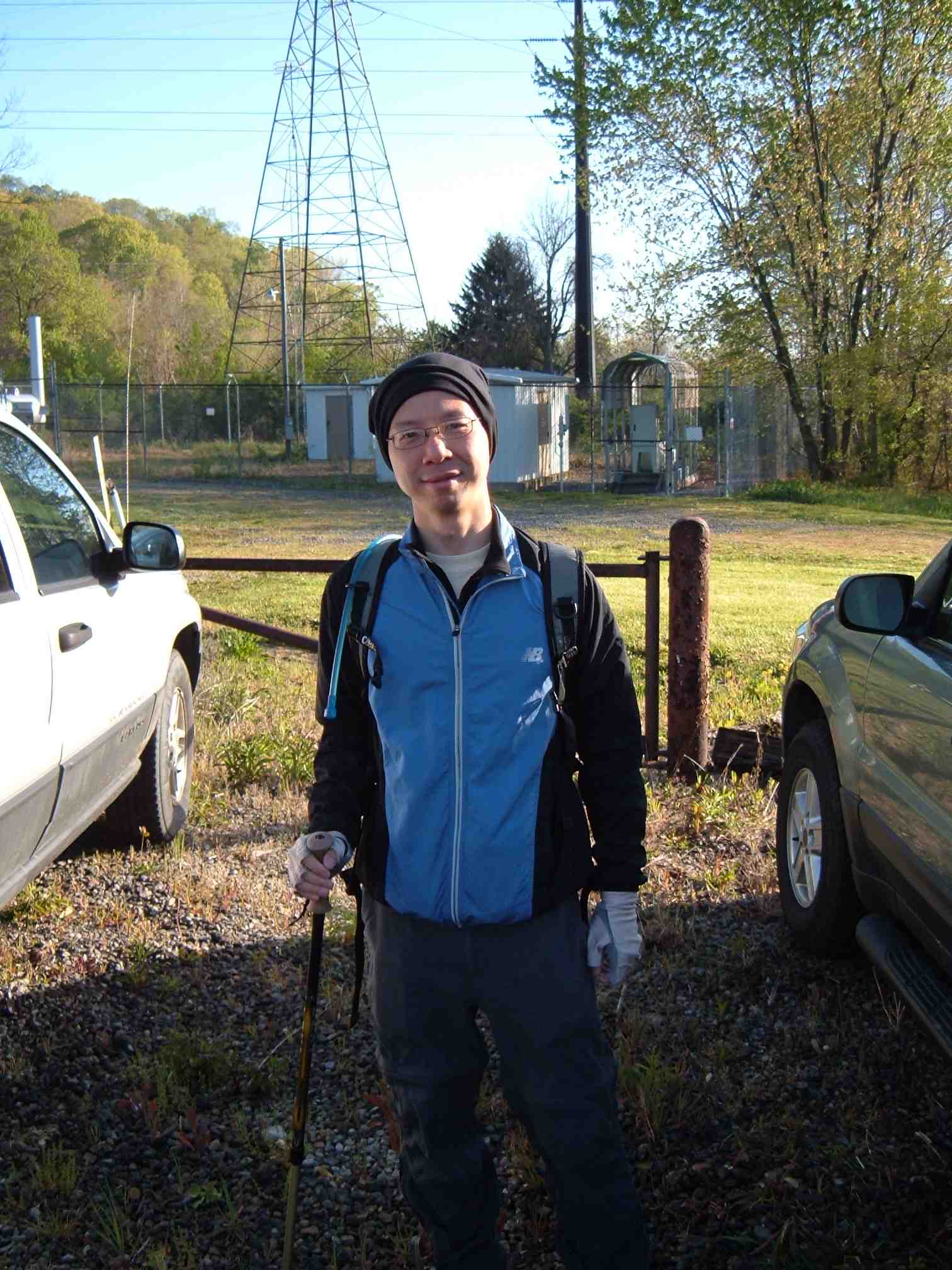
Franklin ready to hike
(Note: since Abby was elsewhere this morning using our camera, and my brand new smartphone’s camera had died and I was waiting for a replacement phone, John and I used his camera to take photos during the hike.)
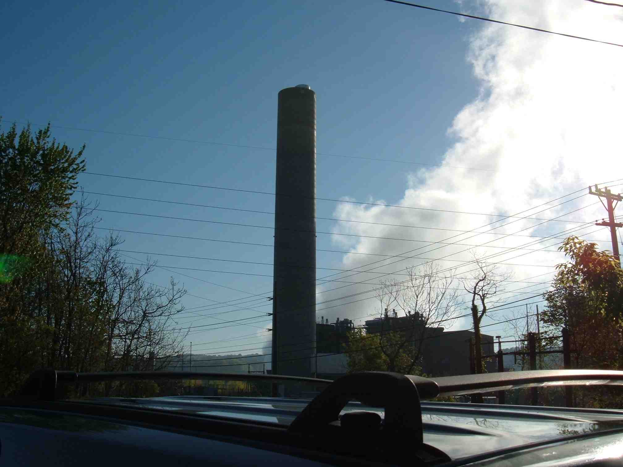
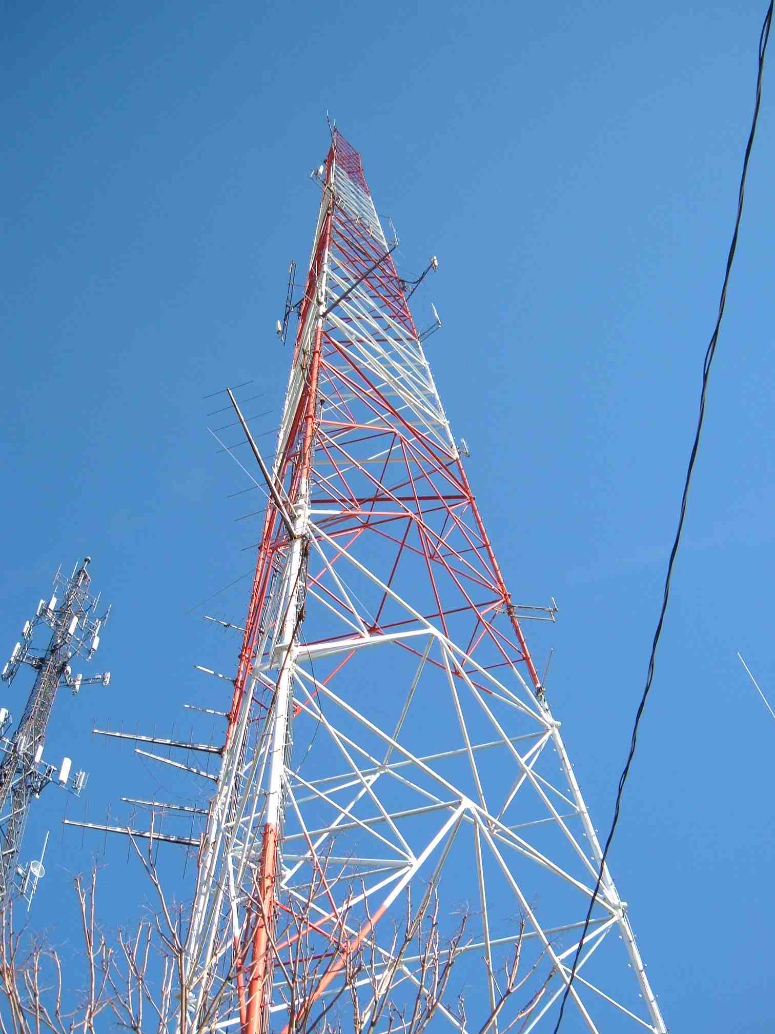
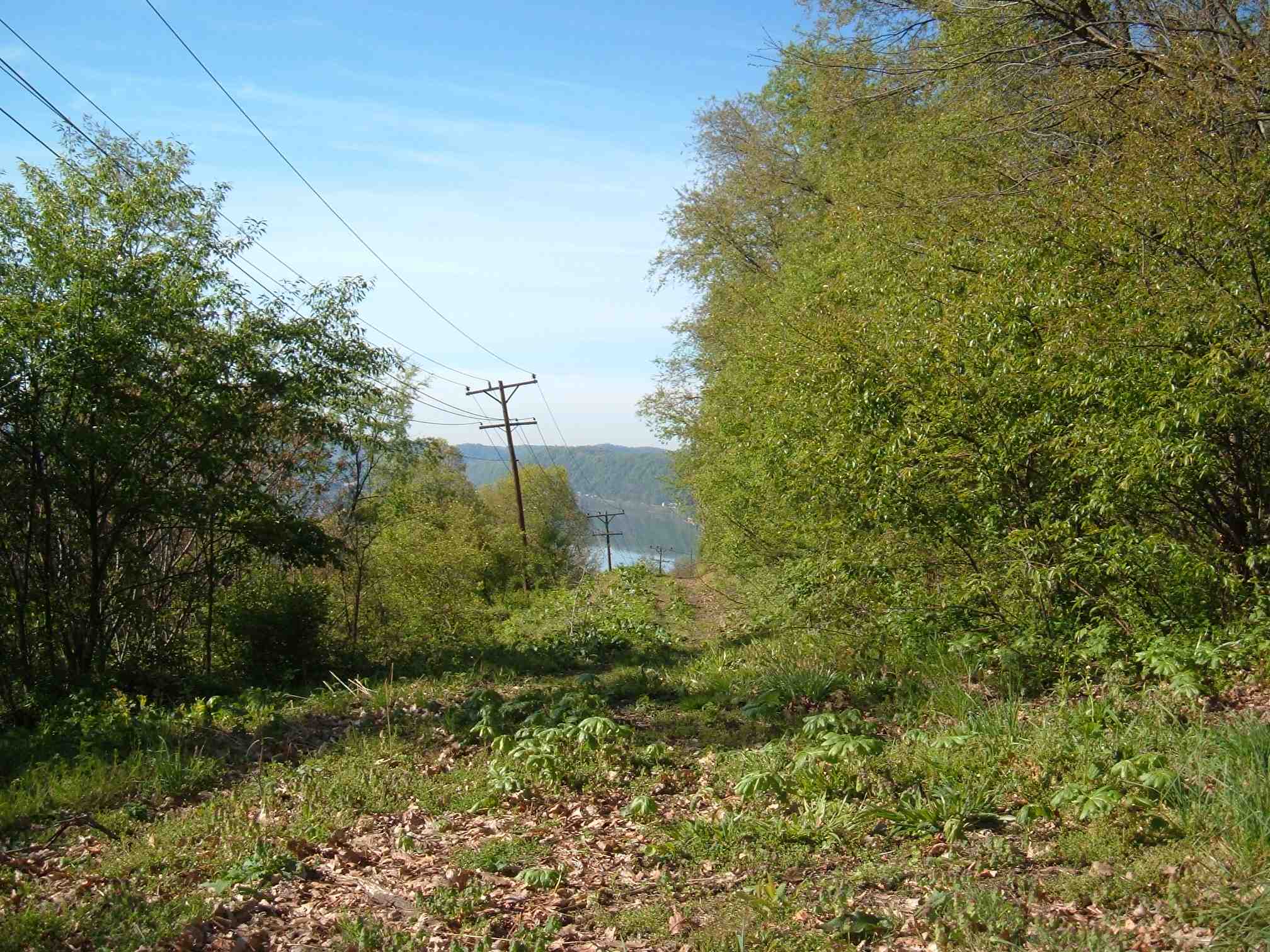
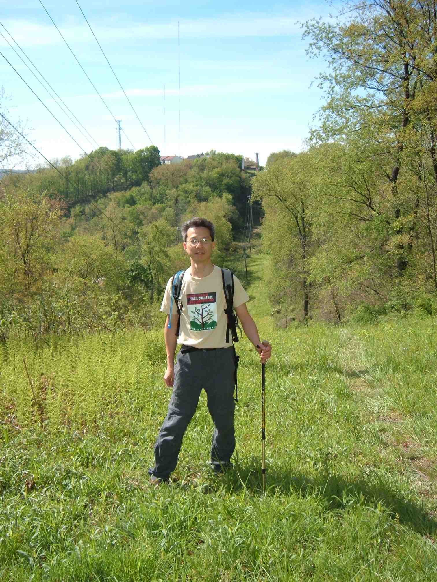
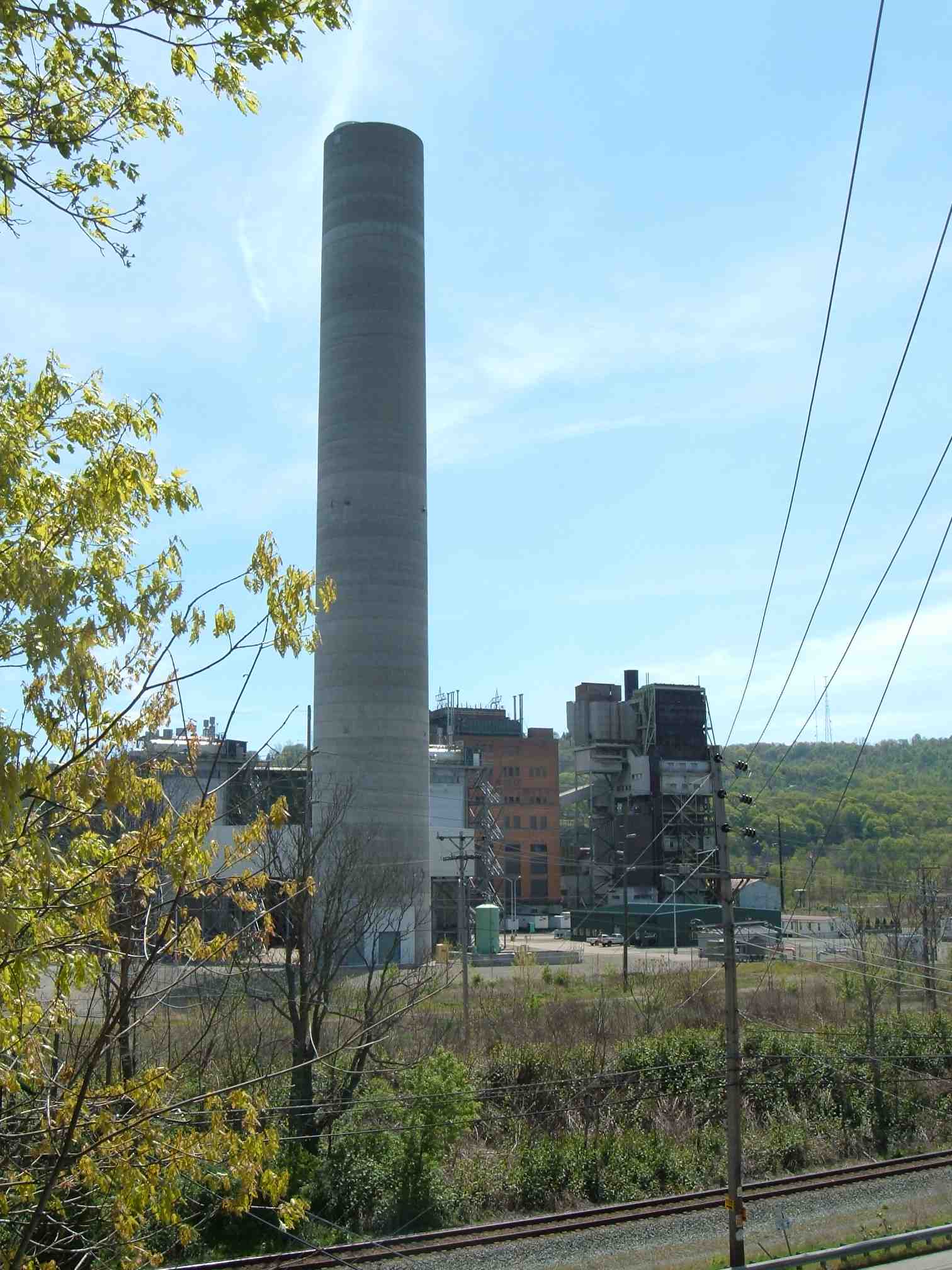
Note the tower that will serve as the landmark when hiking back here:
Hike
Then we carpooled to the Bull Creek Road checkpoint in Tarentum further north and east.
The start of the hike from this checkpoint is by Route 28:
I let John go ahead so that I could stay back and take photos without holding up anyone behind me:
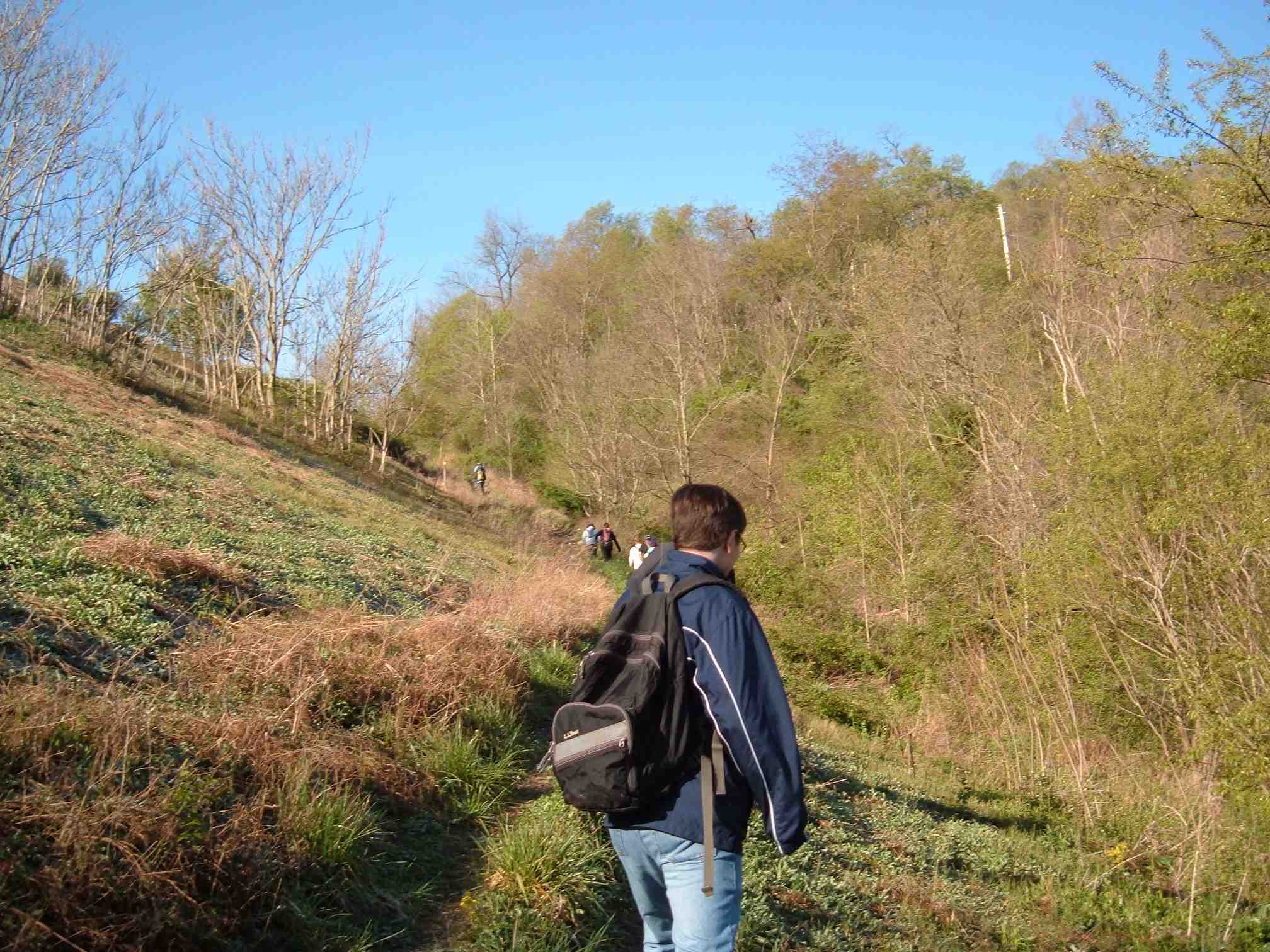
Now John has his camera back and took a photo of me going up:
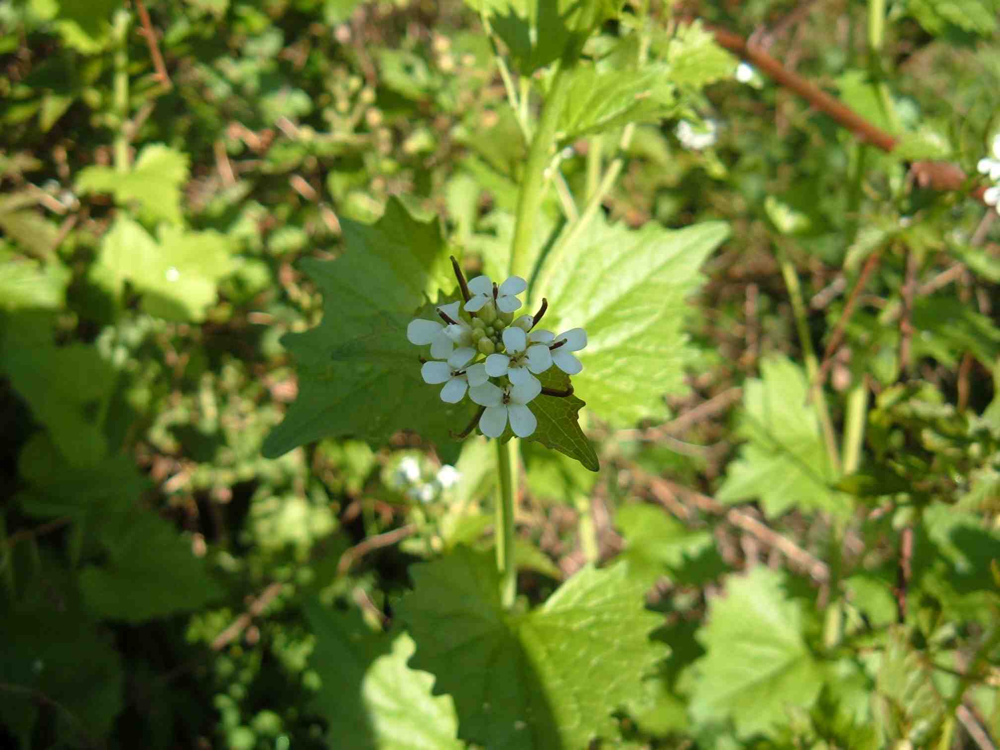
Closeup of some garlic mustard:
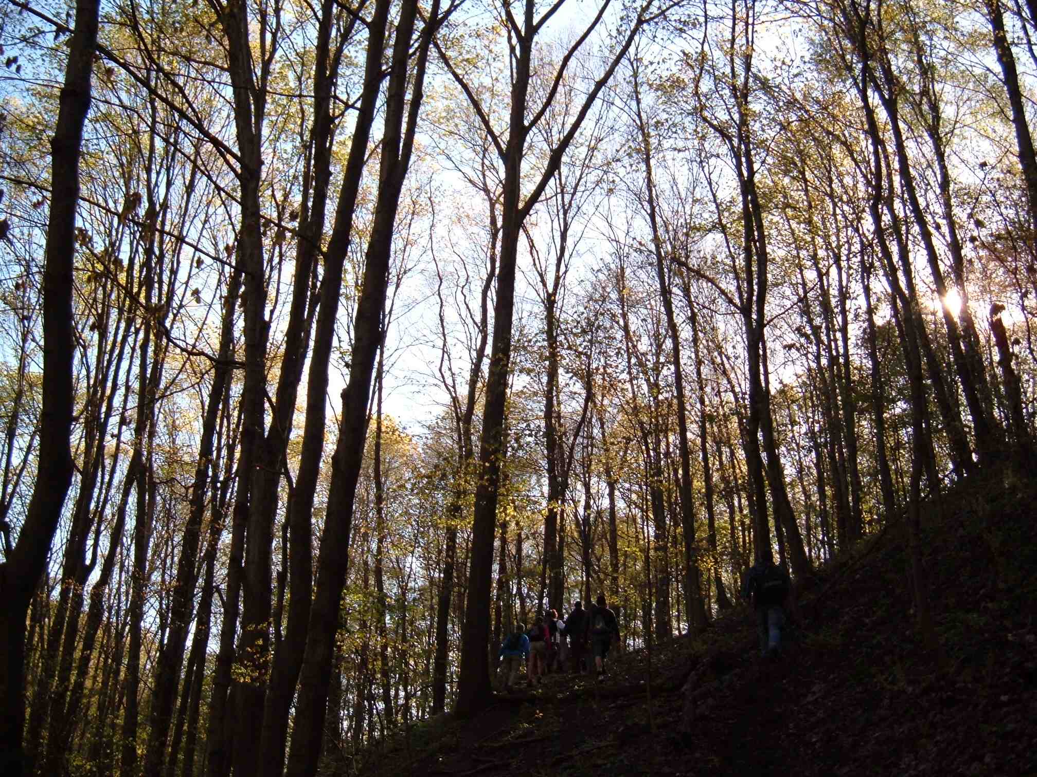
Finally in the woods:
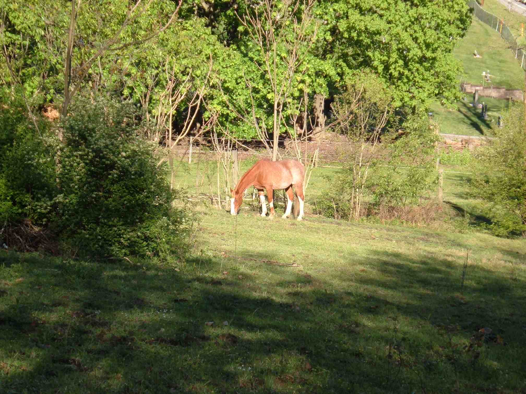
A horse!
A phone tower; these things prove to be useful landmarks:
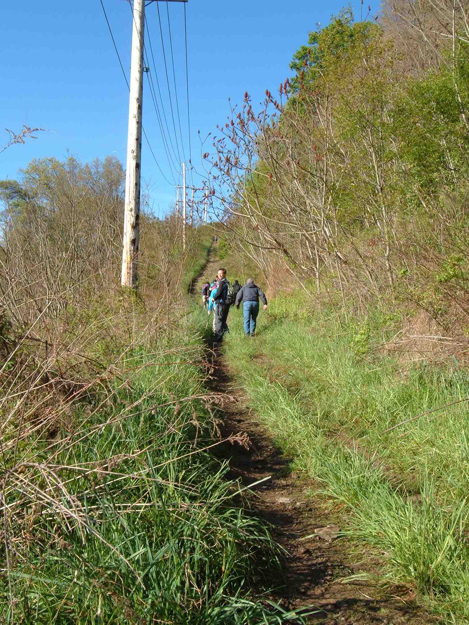
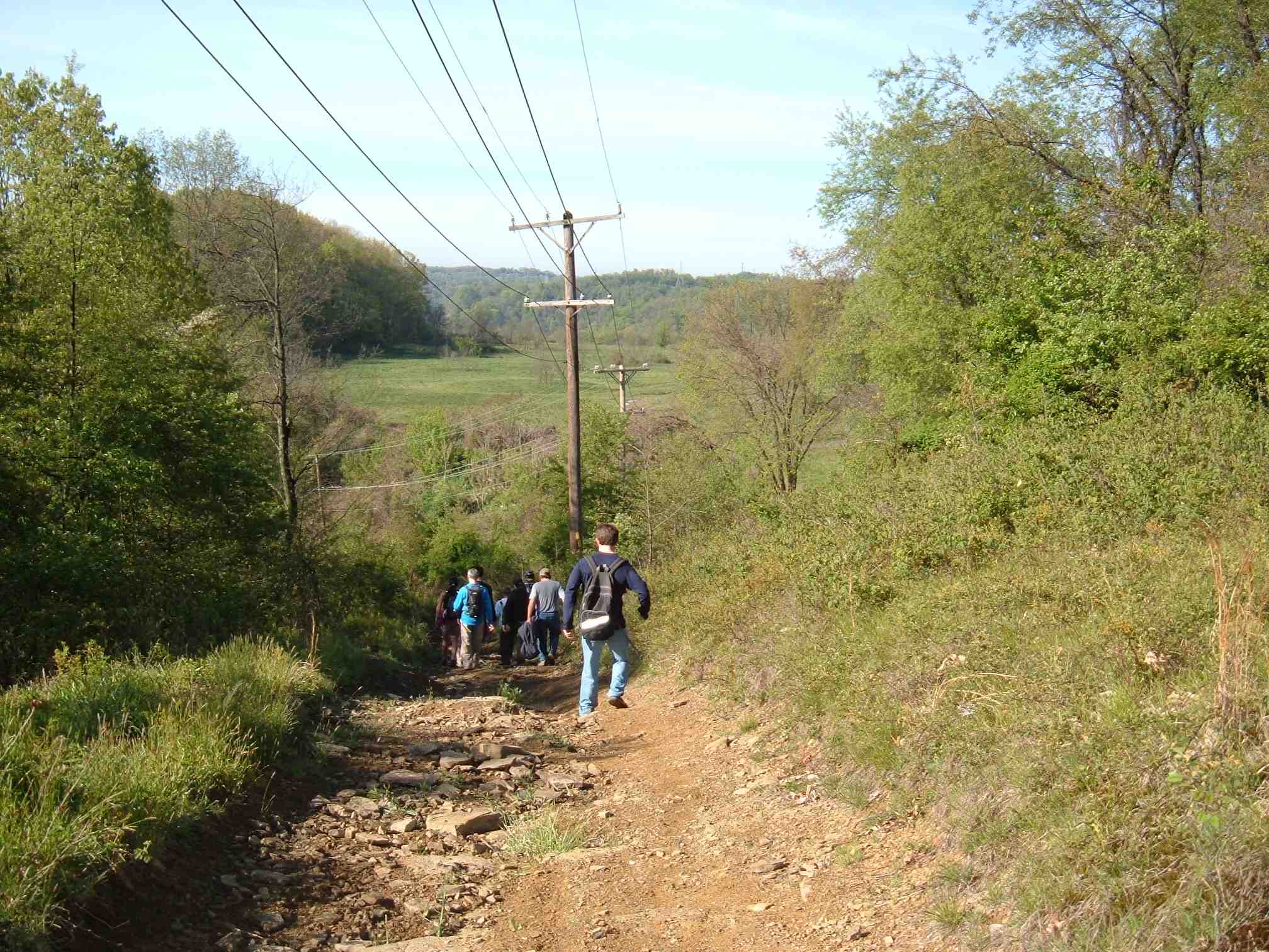
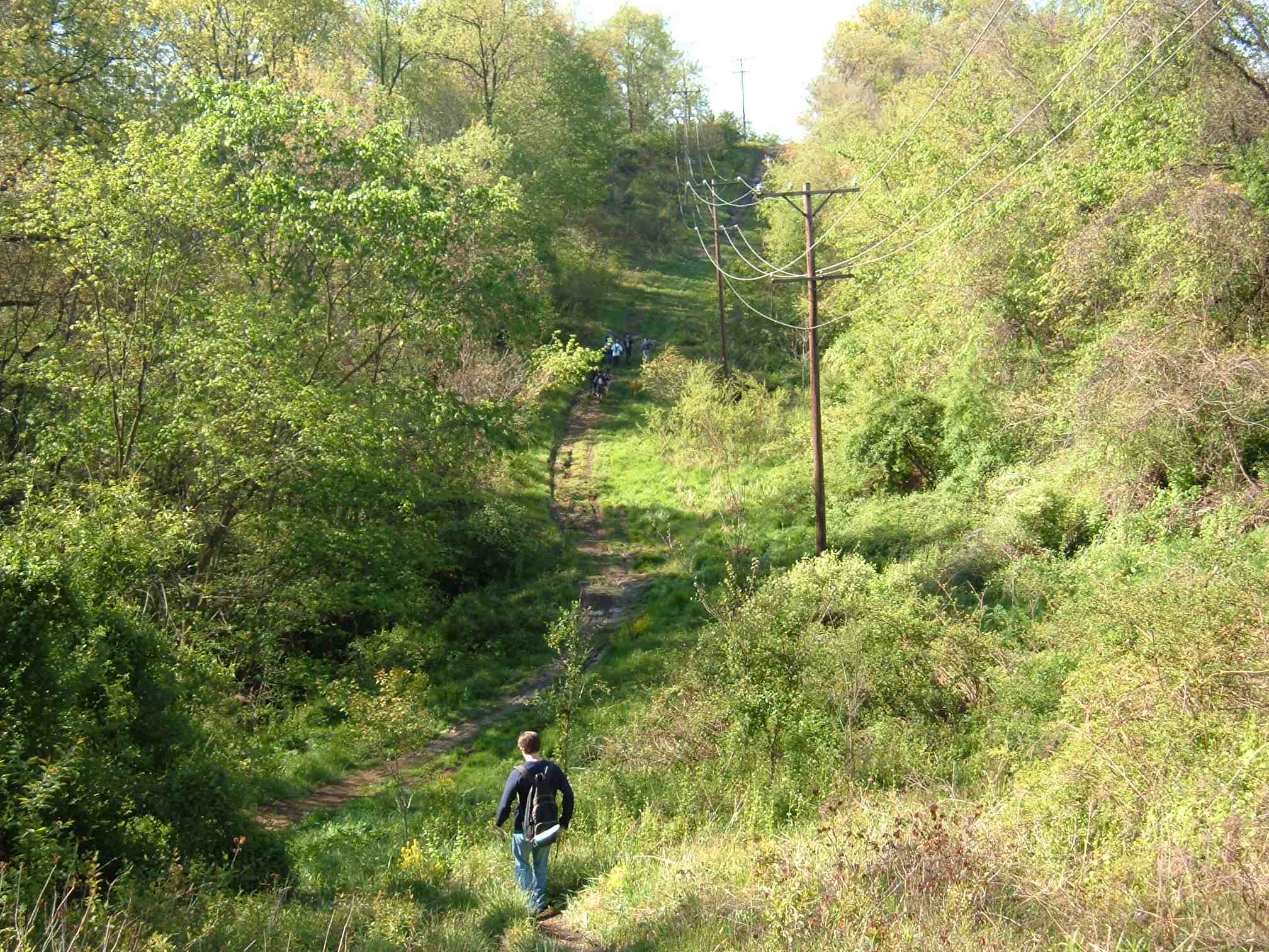
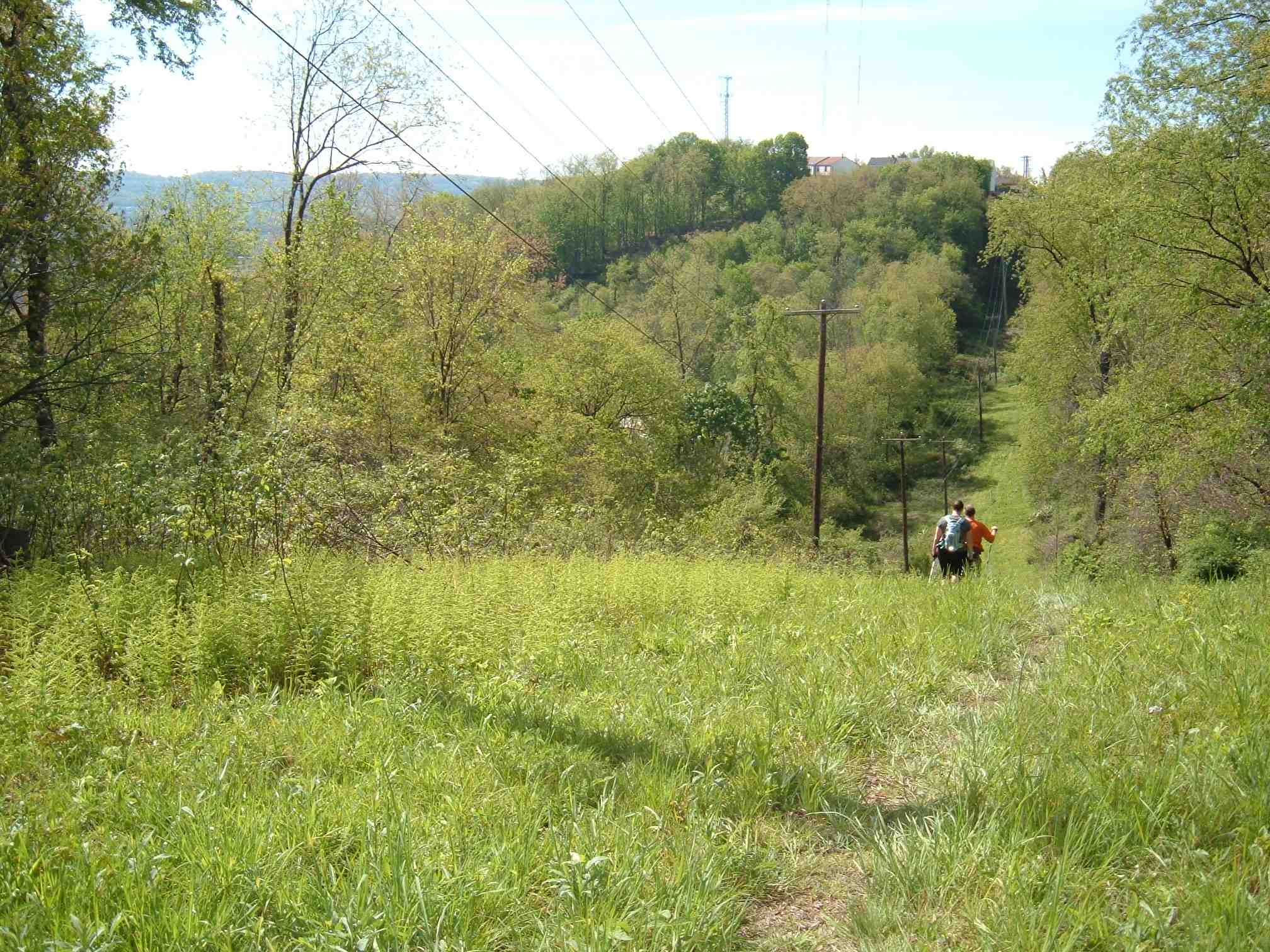
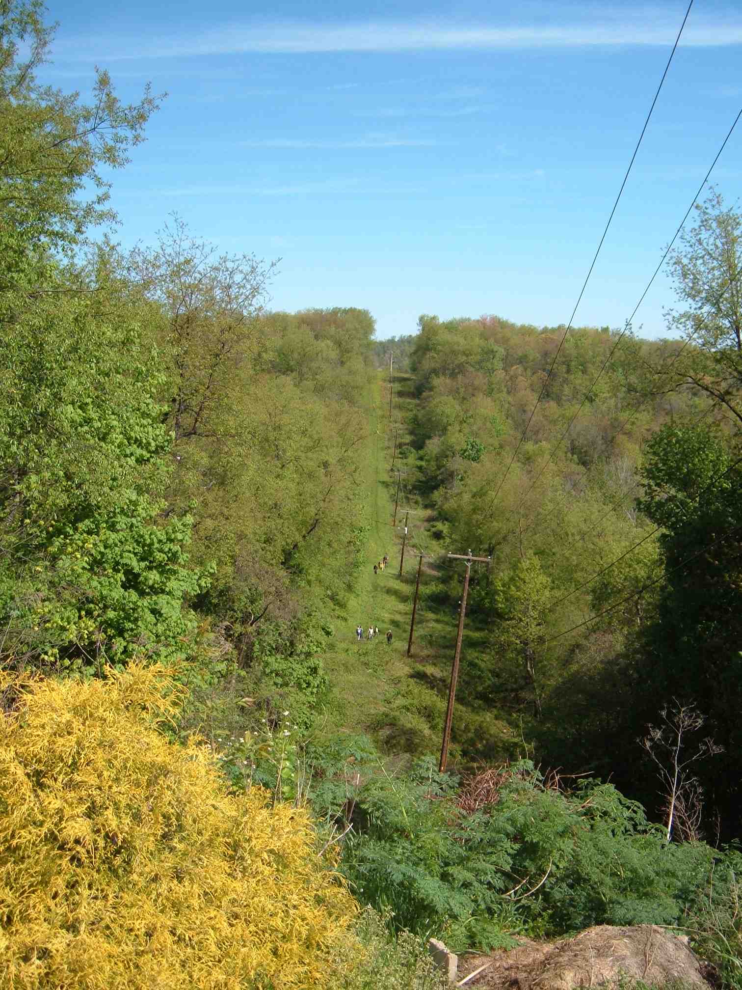
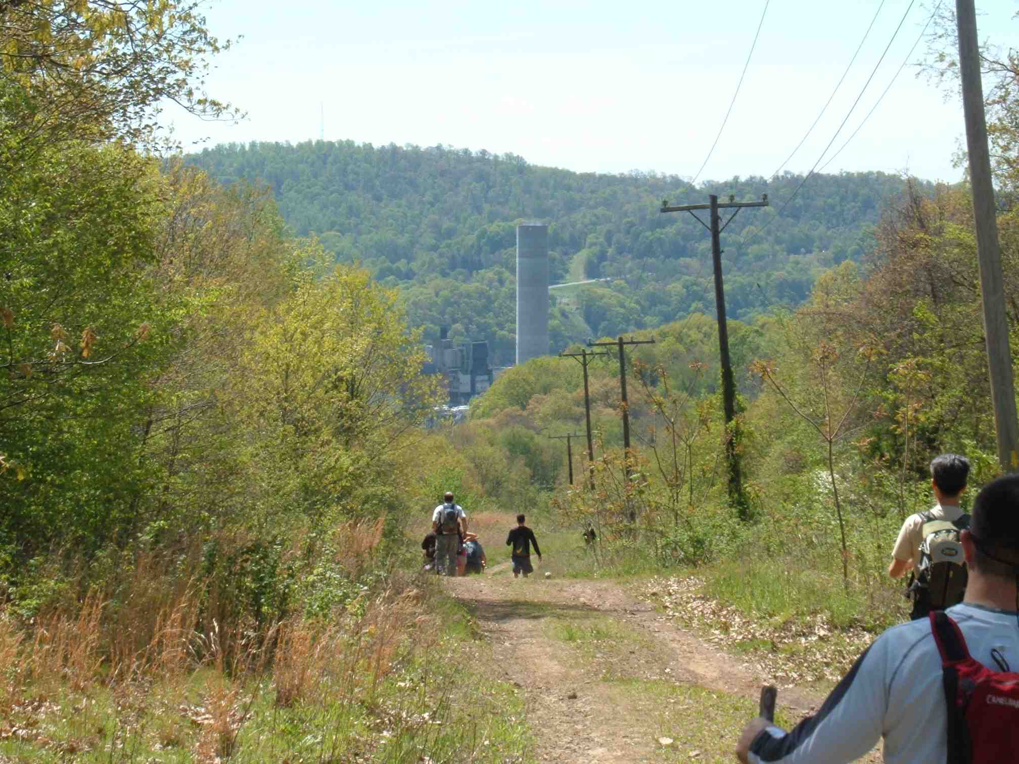
A descent along a power line:
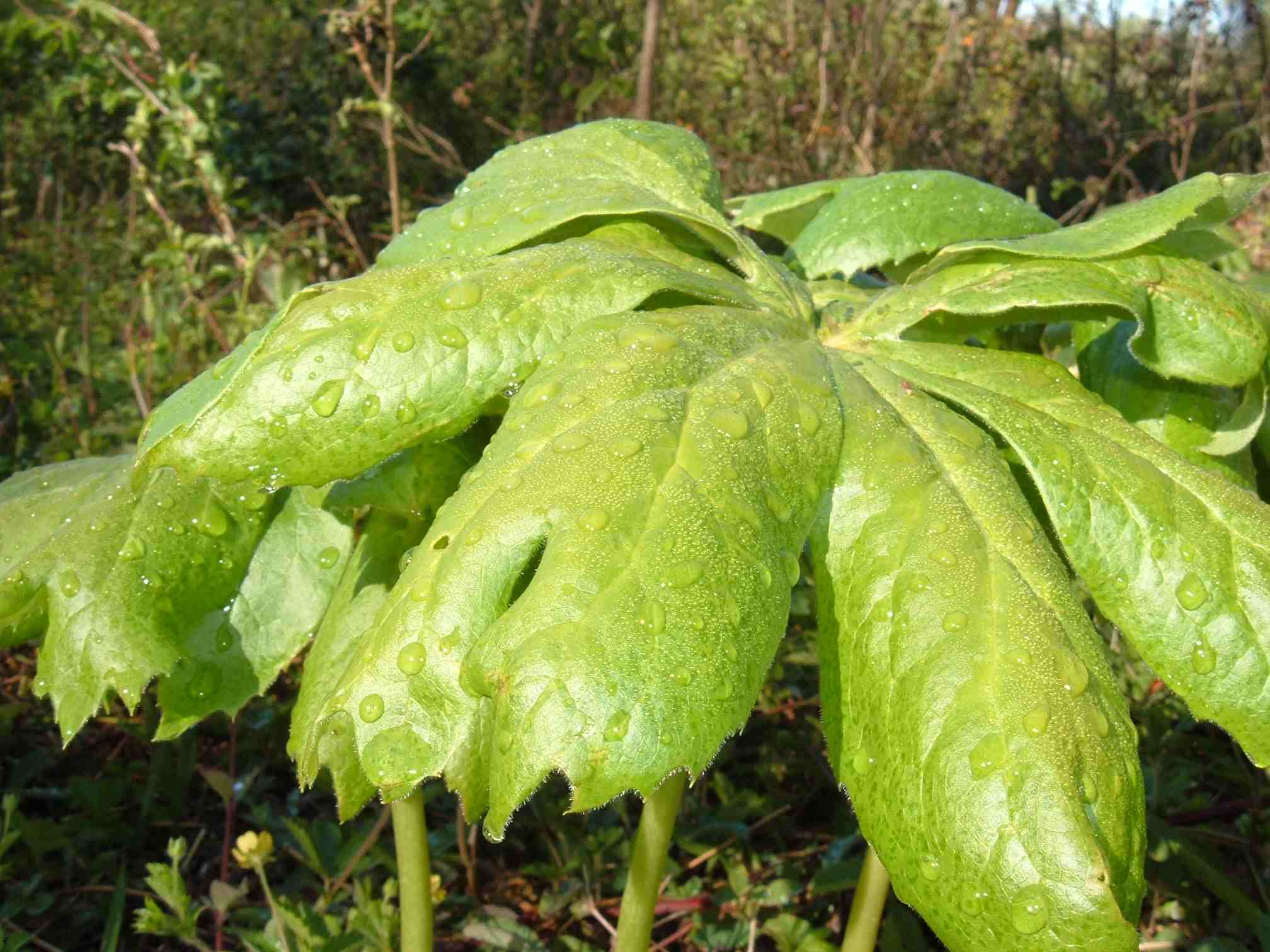
It’s the season for May apples:
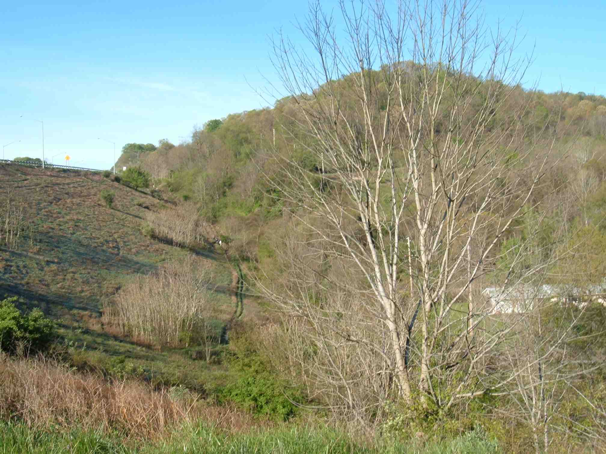
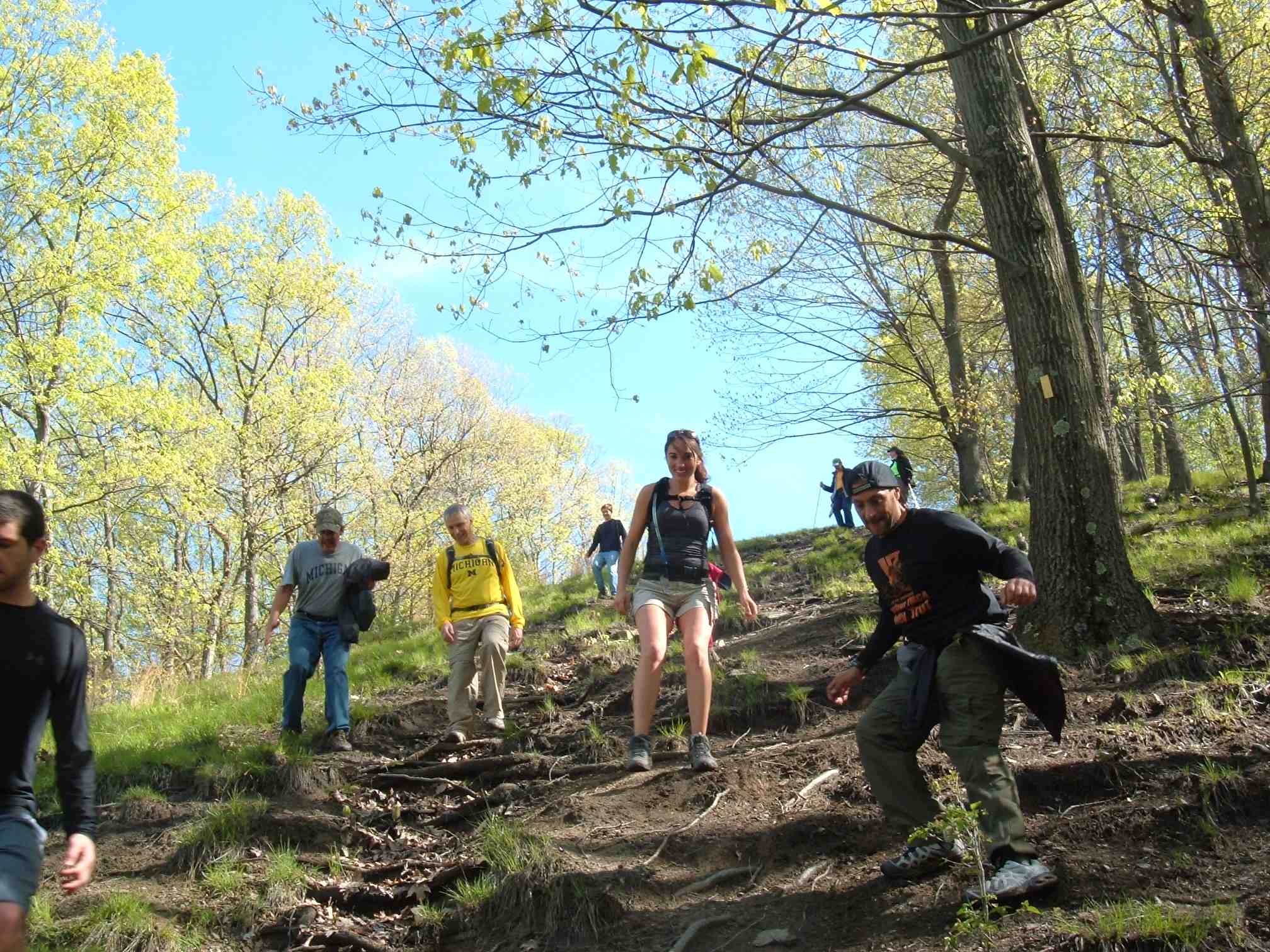
Going down and up, which is what the Rachel Carson Trail in this section is about:
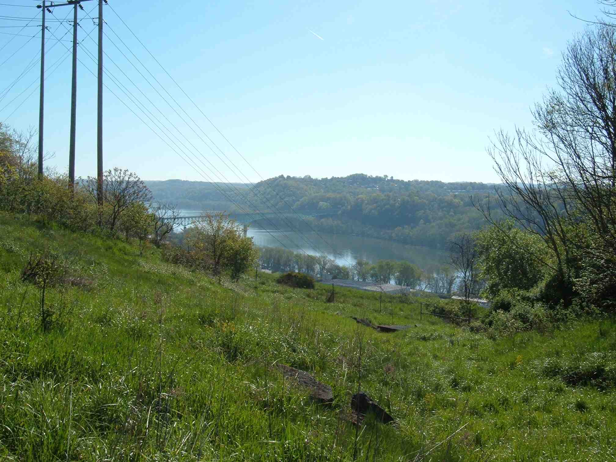
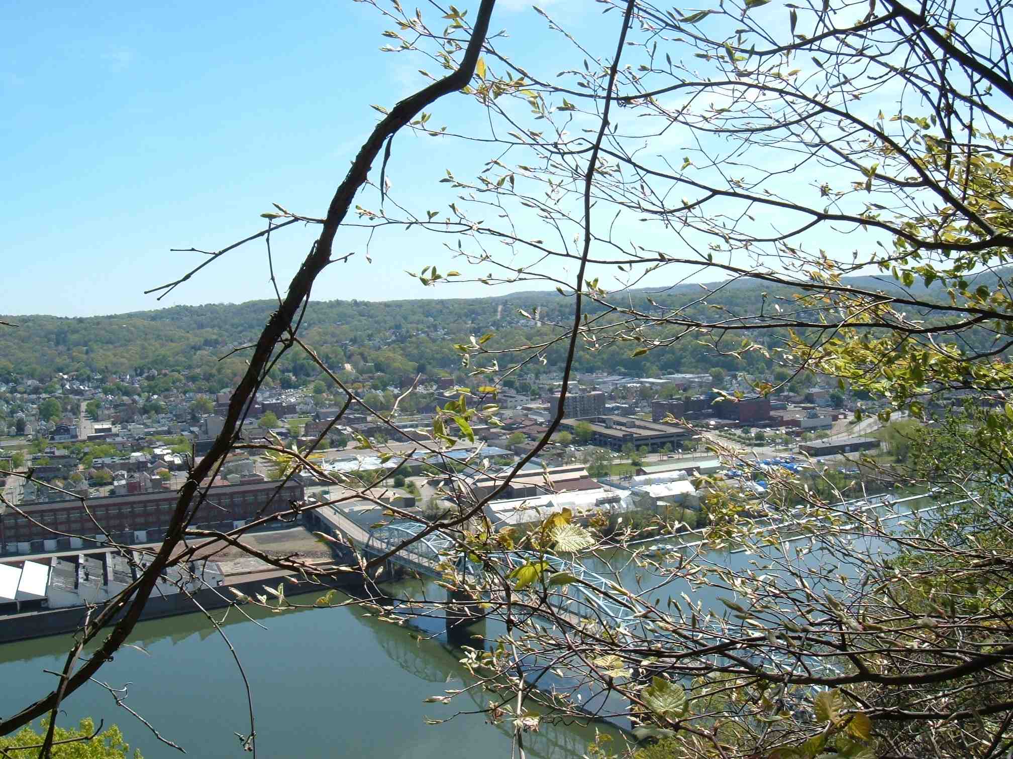
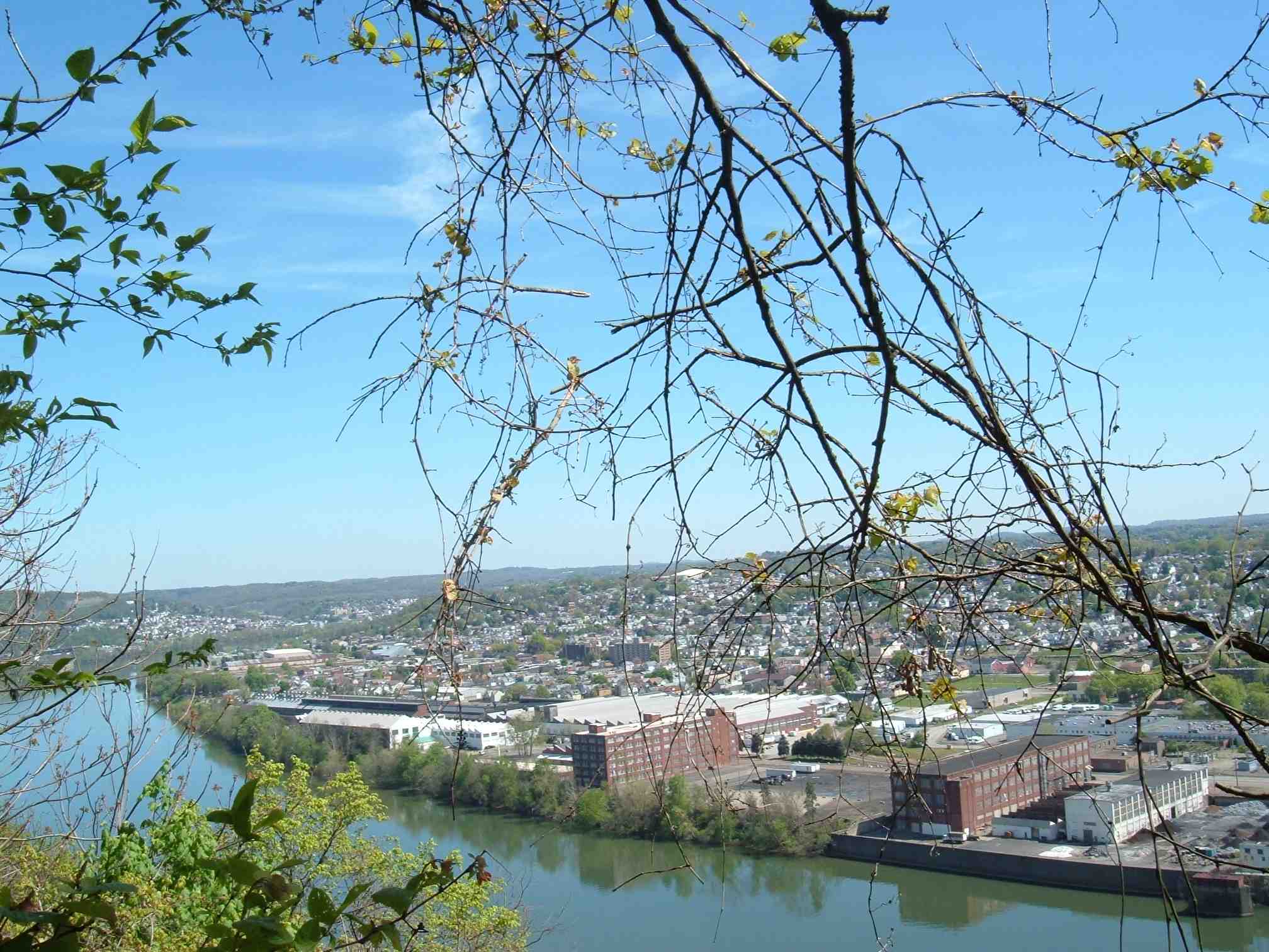
The Allegheny River is visible:
Emerging onto a road section of the this urban trail:

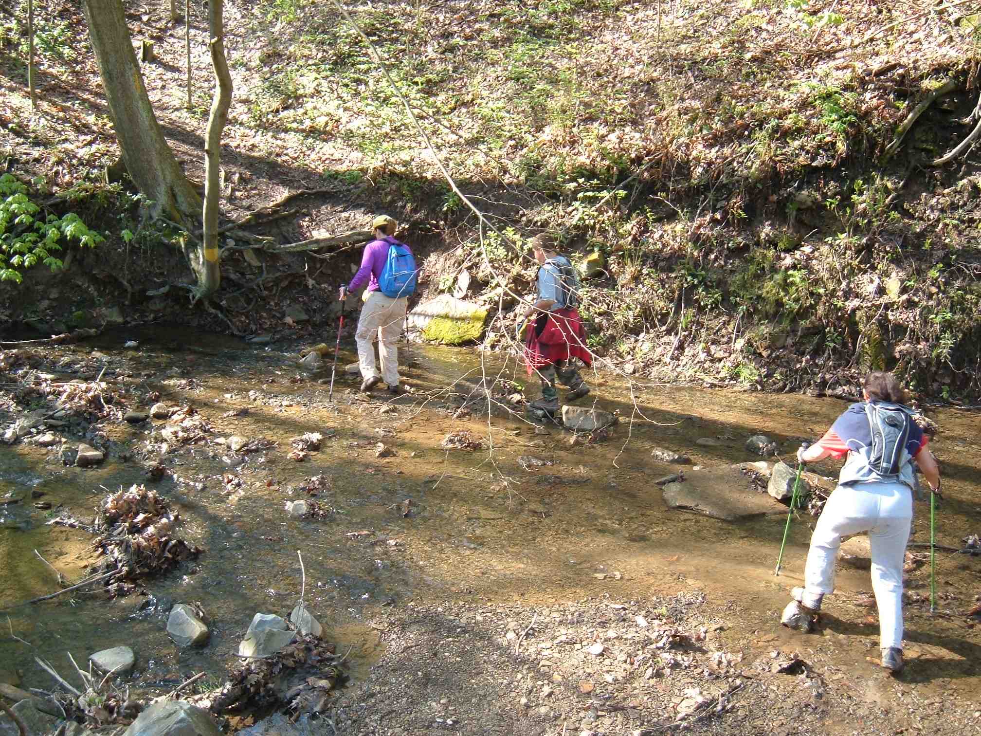
Stream crossing:
Looking back after finishing my very steep descent:
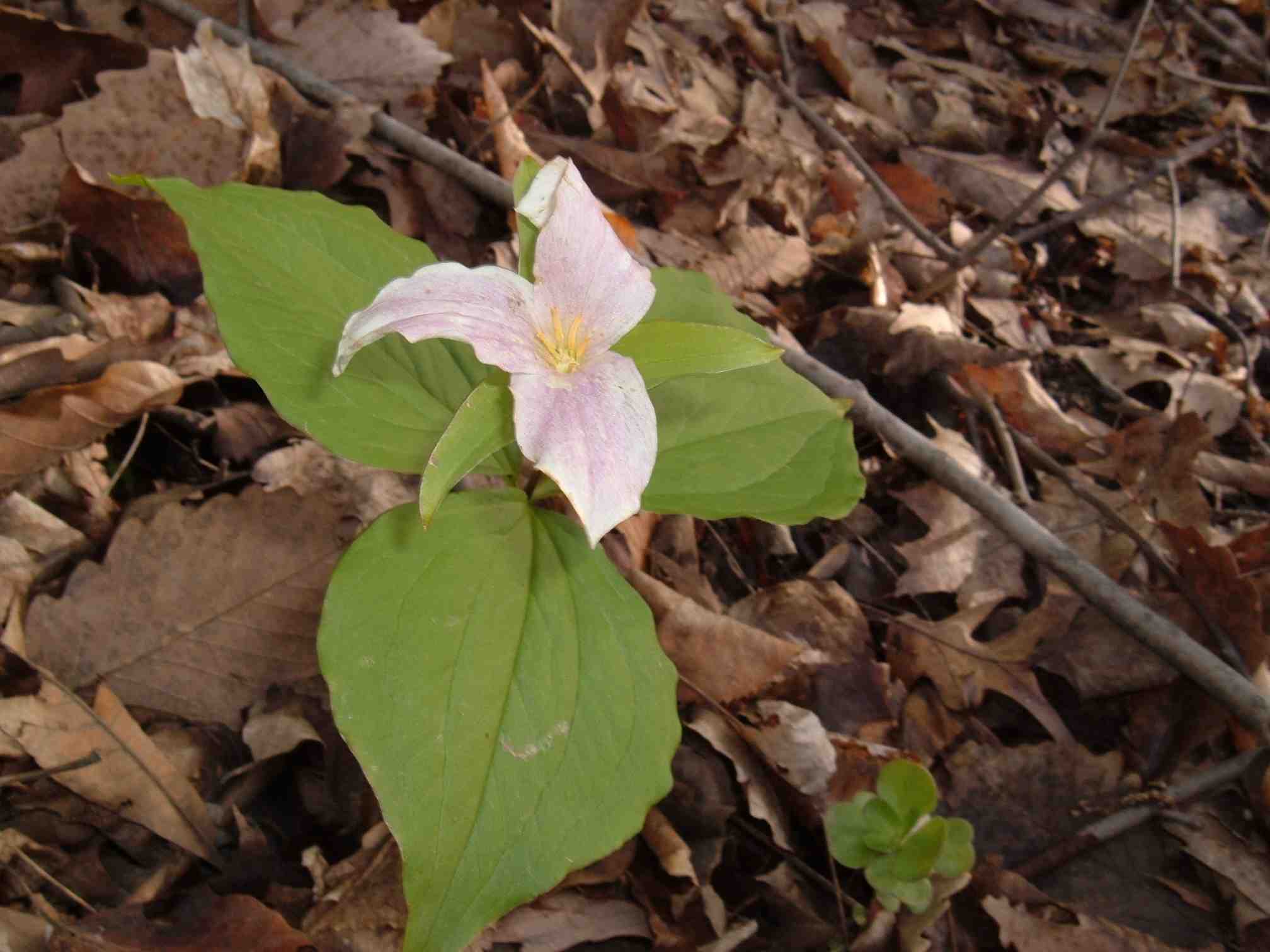
Trillium:
Ah, the power line experience:
It’s two hours since we started hiking, and getting warmer, so my shell and hat and gloves are off. I’m wearing my 2006 Rachel Carson Trail Challenge T-shirt:
Down and up:
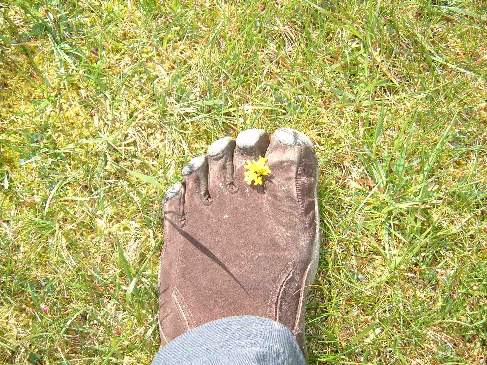
Sometimes I get things stuck between my big toe and my second toe:
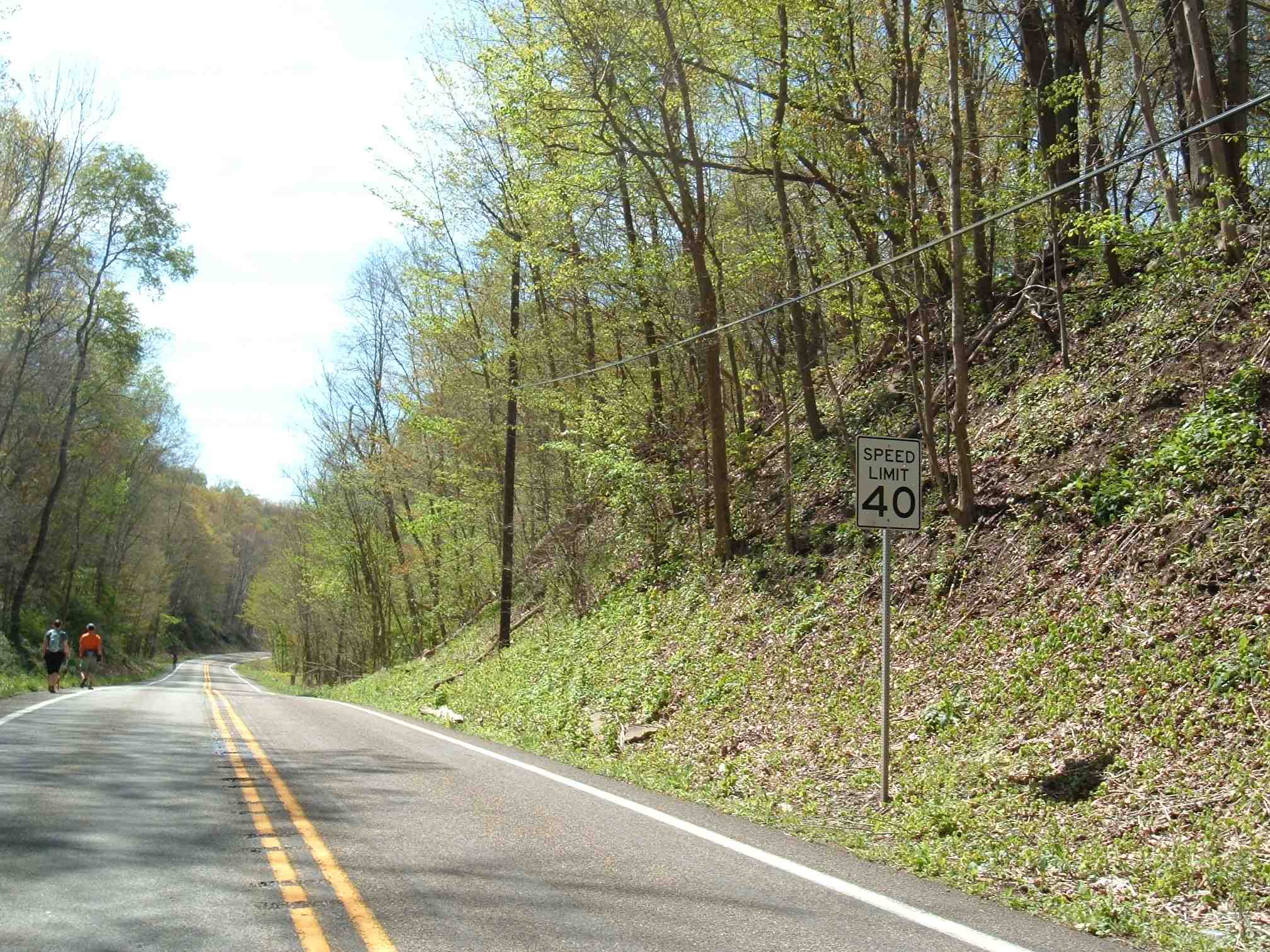
One of the less pleasant aspects of the Rachel Carson Trail is the road sections, where there is no sidewalk and the speed limit is 40 mph or higher!
Now we’re really by the Allegheny River:
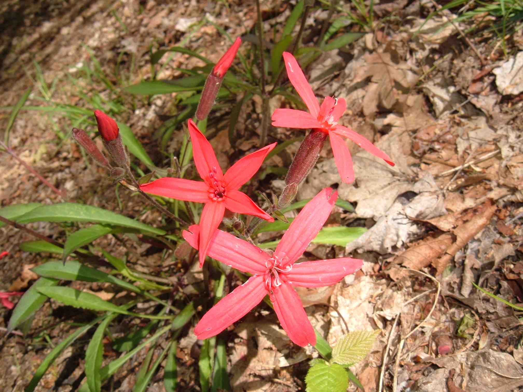
Red flowers (sorry, I don’t know much about flowers and do not know what they are):
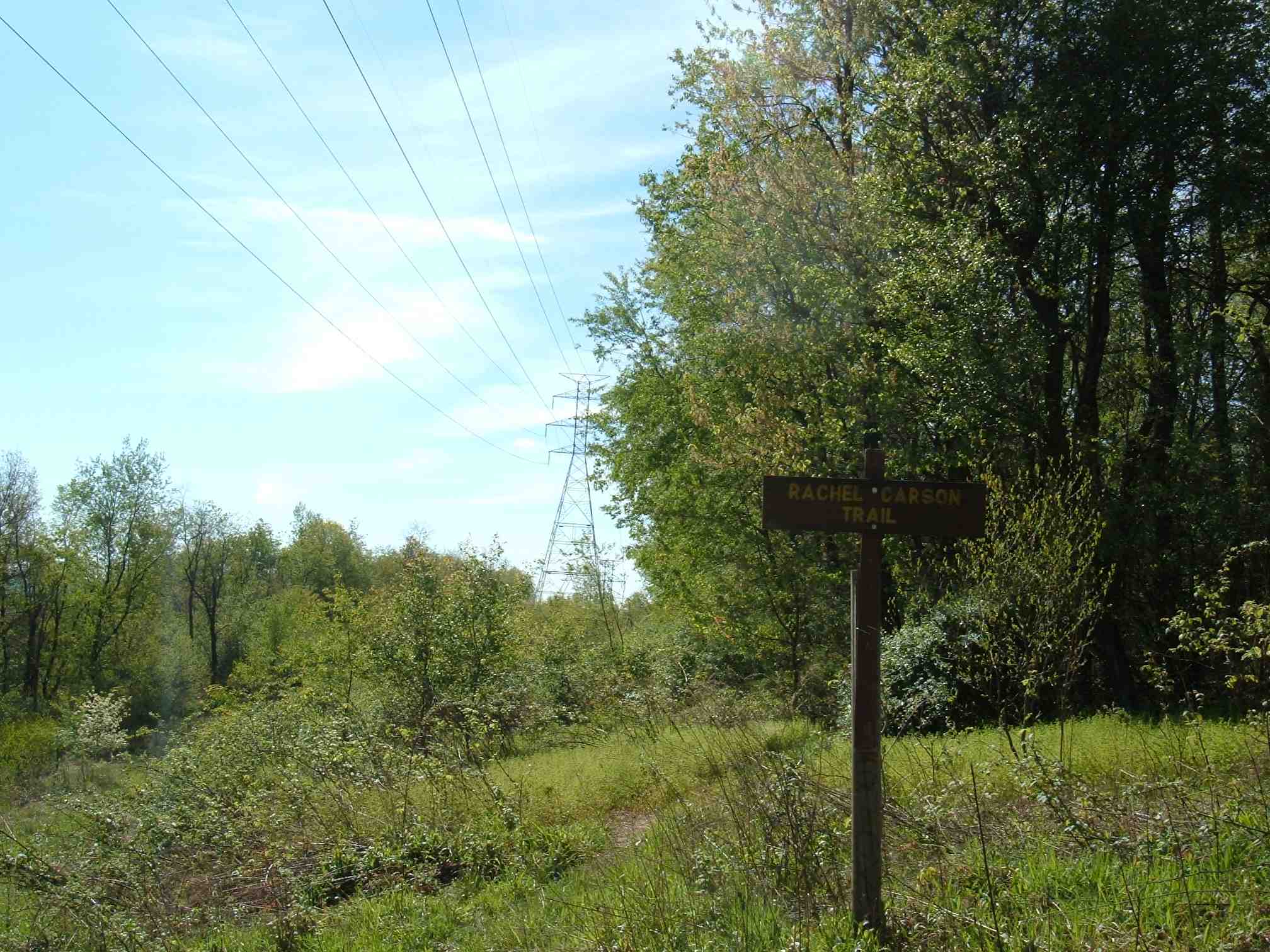
The home stretch! See the tower that I mentioned as a landmark before the hike?
Back to the landmark:
The 8.9 hike took about 3:20.
Conclusion
I enjoyed doing my first Rachel Carson Trail hike of the year. Earlier in the year is better because the hikes are shorter and the weather is cooler.
Thanks to Brian Droz for leading this hike!